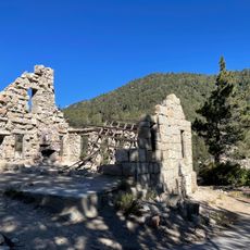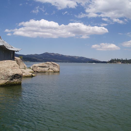
Big Bear, Mountain reservoir in San Bernardino National Forest, California.
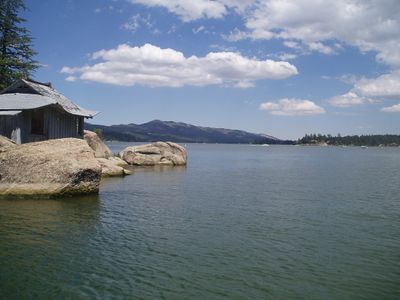
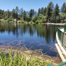
Big Bear Lake stretches eleven kilometers in length and reaches a maximum depth of 22 meters (72 feet) at an elevation of 2,055 meters (6,743 feet) in southern California. The body of water sits between forested mountains in San Bernardino National Forest and shows a calm surface during summer, while it can freeze over in winter.
The Serrano people lived in the area for over 2,500 years and called it Yuhaviat before Benjamin Wilson explored the location in the mid nineteenth century. The reservoir came into existence in 1884 after a company built a dam to provide irrigation water for southern California orchards.
The Serrano called the territory Yuhaviat, "Pine Place", and lived in villages of 10 to 30 round buildings along fresh water. Benjamin Wilson named Bear Valley in 1845 after his posse of 44 men split into 11 pairs, each bringing back a bear hide. The reservoir itself was made by damming Bear Valley; the 1884 single-arch granite dam still sits about 20 feet under the water.
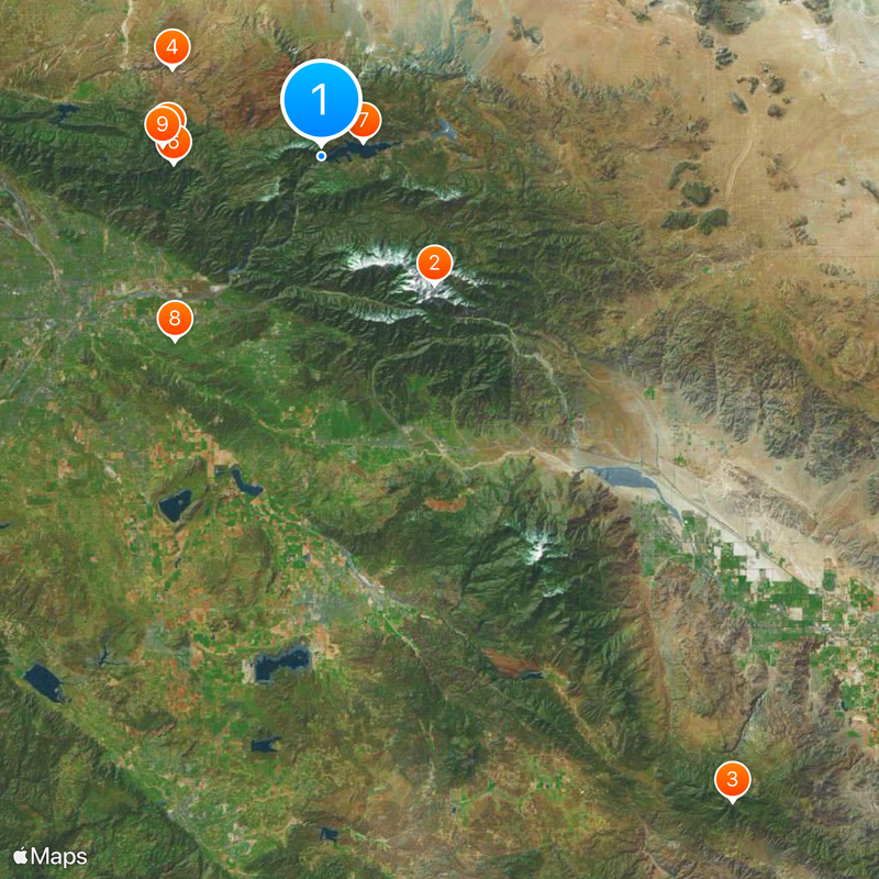
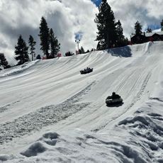
Three main routes allow access: Highway 330 from San Bernardino, Highway 38 from Redlands, and Highway 18 from Victorville, with all roads involving winding mountain passes and elevation changes. Tire chains are required during winter months, while summer days tend to be sunny and dry with possible afternoon thunderstorms.
The 1884 granite dam still stands about 20 feet underwater, roughly 300 feet upstream of the 1912 multiple-arch dam that replaced it. A highway bridge (SR 18) was built over the arches in 1923; a bypass bridge followed in 2009 and the old bridge was removed. The Big Bear Municipal Water District took over the dam in 1977.
The community of curious travelers
AroundUs brings together thousands of curated places, local tips, and hidden gems, enriched daily by 92,633 contributors worldwide.