Chest opened
+${chestReward.xp} XP
Explorer
NOUVEAU ×${chestReward.collectible.quantity}
tapez pour fermer
Chest locked

Open chests in the app

Around Us is built for your phone — chests unlock when you walk, explore and capture nearby places.

Enable Location

We need your location to show you interesting places around you

Discover nearby places

Find interesting locations and hidden gems around you

Precise directions

Get accurate directions and distances to places

Your location is never shared with other users. It's only used when you tap the location button.

Twentynine Palms

Log in to your account

Start exploring — it's free

Trusted by 72,887 travelers worldwide

Continue with Google
Continue with Apple
or

We will send you a code to connect

By continuing, you accept our Terms and Conditions and our Privacy Policy

Check your inbox

We've sent a pincode in your inbox. Please enter the code below.

Discussion Reviews 4 Photos
138k Popularity

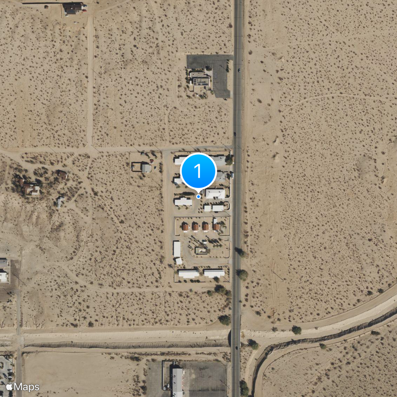
Twentynine Palms, Desert city in San Bernardino County, United States.

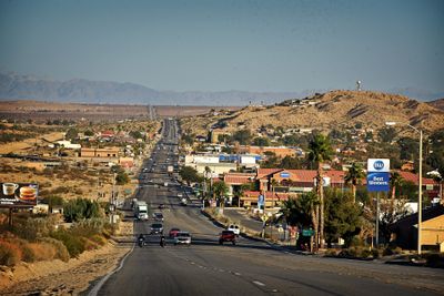
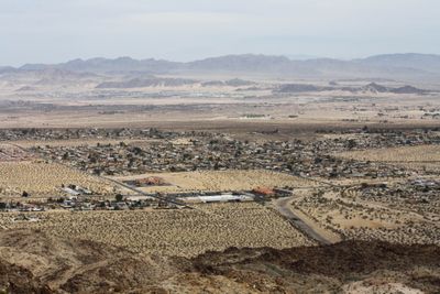
Twentynine Palms is a desert city in San Bernardino County in southern California, at the northern edge of Joshua Tree National Park. Streets lie far apart, lined with low buildings and sand that covers the roadside edges.

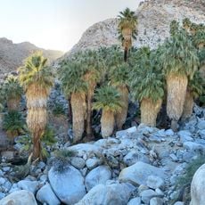
Colonel Henry Washington named the place after the many palms he found in 1852 during his survey of the region. In the 1950s the Marine Corps Air Ground Combat Center was established here, which strongly shaped the development of the city.

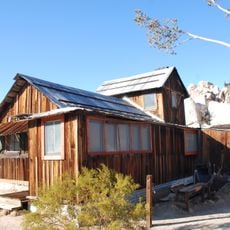
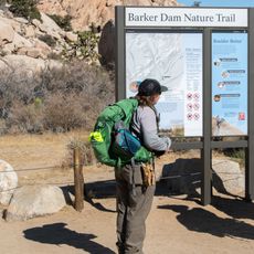
The name comes from the fan palms that explorers counted at a natural oasis in 1852. Today visitors gather at the Oasis of Mara Visitor Center to learn about the first inhabitants and desert life.

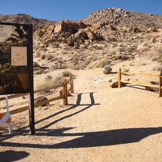
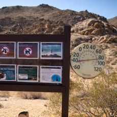
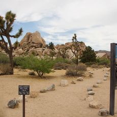
Visitors should always bring enough water and protect themselves against the strong sun, as temperatures in summer often rise above 104 degrees Fahrenheit (40 degrees Celsius). Most shops and facilities lie along the main road that runs through the town.

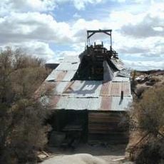
The murals on building walls show scenes from Western history and run through several blocks. The old schoolhouse today houses a small museum of the Historical Society, where everyday objects of the first settlers can be seen.

The community of curious travelers

AroundUs brings together thousands of curated places, local tips, and hidden gems, enriched daily by 60,000 contributors worldwide.

Start exploring
Inception
1987
Elevation above the sea
606 m
GPS coordinates
34.13833,-116.07250
Latest update
December 13, 2025 02:28
Around this place
Keys Desert Queen Ranch
United States of America

Keys Desert Queen Ranch

13.6 km
Desert Queen Mine
United States of America

Desert Queen Mine

12.7 km
Wall Street Mill
United States of America

Wall Street Mill

12.7 km
Fortynine Palms Oasis
United States of America

Fortynine Palms Oasis

4.7 km
Cow Camp
United States of America

Cow Camp

14.2 km
Joshua Tree National Park Visitor Center
United States of America

Joshua Tree National Park Visitor Center

1.5 km
Split Rock
United States of America

Split Rock

14.4 km
Indian Cove Campground Amphitheater
United States of America

Indian Cove Campground Amphitheater

9.2 km
United States of America

29 Palms Art at 29 Palms Creative Center

2 km
United States of America

Sculpture, Work of art

7.4 km
United States of America

Eagle Cliff Boulder House

12.9 km
United States of America

Outer Mongolia Climbing Area

11.8 km
United States of America

Willow Hole

10.8 km
United States of America

29 Palms Theatre

2 km
United States of America

Quail Springs Rock Exhibit Area

15.9 km

29 Palms Art Gallery

2.5 km
United States of America

Statue, Work of art

13.1 km
United States of America

David Knopp

9.8 km
United States of America

Scenic viewpoint

14.2 km
United States of America

Scenic viewpoint

3.9 km
United States of America

Sunset

15.7 km
Fortynine Palms Oasis
United States of America

Fortynine Palms Oasis

4.2 km
Bulletin Board
United States of America

Bulletin Board

4.2 km
Leute sind auf diesem Wanderweg gestorben. Leute genauso wie Sie.
United States of America

Leute sind auf diesem Wanderweg gestorben. Leute genauso wie Sie.

4.2 km
Information board
United States of America

Information board

1.5 km
Wall Street Mill
United States of America

Wall Street Mill

14.1 km
Barker Dam Nature Trail
United States of America

Barker Dam Nature Trail

14.1 km
North Entrance Sign
United States of America

North Entrance Sign

7.5 km
Show the full map
Reviews
Share your experience

No review yet

Discussions
Start a discussion...

No discussion yet

« Twentynine Palms - Desert city in San Bernardino County, United States » is provided by Around Us (aroundus.com). Images and texts are derived from Wikimedia project under a Creative Commons license. You are allowed to copy, distribute, and modify copies of this page, under the conditions set by the license, as long as this note is clearly visible.

Discover hidden gems everywhere you go!

From secret cafés to breathtaking viewpoints, skip the crowded tourist spots and find places that match your style. Our app makes it easy with voice search, smart filtering, route optimization, and insider tips from travelers worldwide. Download now for the complete mobile experience.

Around Us App Screenshot

A unique approach to discovering new places

Le Figaro

All the places worth exploring

France Info

A tailor-made excursion in just a few clicks

20 Minutes

Around Us
Travel Guide & Maps
Download

Send to your phone

QR Code
1

Open the camera app on your mobile.

2

Point at the QR code with your camera. A notification will appear.

3

Tap the notification to open the link.