Enable Location

We need your location to show you interesting places around you

Discover nearby places

Find interesting locations and hidden gems around you

Precise directions

Get accurate directions and distances to places

Your location is never shared with other users. It's only used when you tap the location button.

Gila River

Log in to your account

Start exploring — it's free

Trusted by 68,279 travelers worldwide

Continue with Google
Continue with Apple
or

We will send you a code to connect

By continuing, you accept our Terms and Conditions and our Privacy Policy

Check your inbox

We've sent a pincode in your inbox. Please enter the code below.

Gila River
Discussion Reviews 4 Photos
69.3k Popularity

Gila River, River system in southwestern New Mexico and southeastern Arizona, United States.

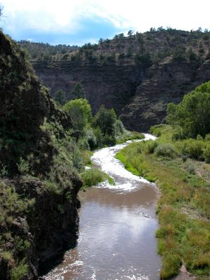
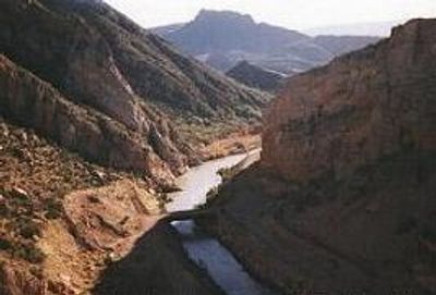
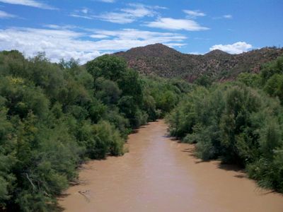
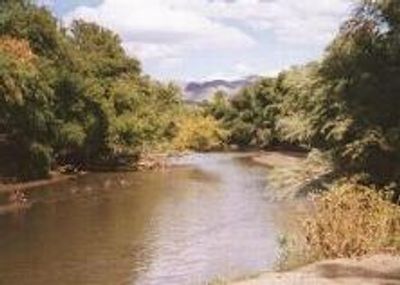
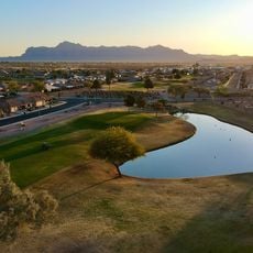
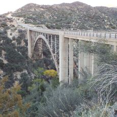
The Gila is a river system in the southwestern United States flowing through New Mexico and Arizona, running roughly 650 miles before joining the Colorado. Its course passes through canyons, desert valleys and farmed plains, with sections of flowing water alternating with dry or shallow streambeds.

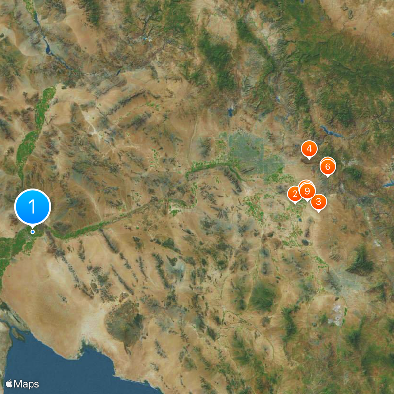
Farming communities used the river water for irrigation systems long before European explorers began mapping the region in the 1500s. Later conflicts over land use and water rights led to dam construction and diversions that still control water distribution today.

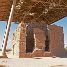
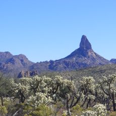
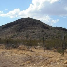
The name Gila comes from a blend of languages and cultures that have met in the Southwest for centuries. Today the river appears as a habitat for birds and wildlife, offering hikers and anglers a chance to enter a landscape shaped by rocks, riparian woods and changing water levels.

The best access points lie along smaller towns and dirt roads that range from the headwaters to the lower sections. Those exploring the area should expect changing conditions, as some stretches are seasonally dry or passable only after rainfall.

The upper river basin became the world's first classified primitive area in the mid 1920s, later serving as a model for later wilderness laws. The decision marked a turning point in how untouched landscapes were managed in North America.

The community of curious travelers

AroundUs brings together thousands of curated places, local tips, and hidden gems, enriched daily by 60,000 contributors worldwide.

Start exploring
Location
Location
GPS coordinates
32.71970,-114.55500
Latest update
December 13, 2025 17:53
Around this place
Casa Grande Ruins National Monument
United States of America

Casa Grande Ruins National Monument

284.3 km
St. Anthony's Greek Orthodox Monastery
United States of America

St. Anthony's Greek Orthodox Monastery

308.9 km
Weaver's Needle
United States of America

Weaver's Needle

307.4 km
Boyce Thompson Arboretum
United States of America

Boyce Thompson Arboretum

323.2 km
United States of America

Picketpost Mountain

322.8 km
Poston Butte
United States of America

Poston Butte

296.5 km
McFarland State Historic Park
United States of America

McFarland State Historic Park

298.2 km
Florence High School
United States of America

Florence High School

298 km
Second Pinal County Courthouse
United States of America

Second Pinal County Courthouse

298.4 km
United States of America

Peralta Canyon

307 km
Our Lady of the Blessed Sacrament Church
United States of America

Our Lady of the Blessed Sacrament Church

351.6 km
Rittenhouse Elementary School
United States of America

Rittenhouse Elementary School

279.3 km
Gold Canyon Golf Resort
United States of America

Gold Canyon Golf Resort

298.9 km
Our Lady of Guadalupe Church
United States of America

Our Lady of Guadalupe Church

278.5 km
Winkelman Bridge
United States of America

Winkelman Bridge

355 km
Miami Community Church
United States of America

Miami Community Church

352.2 km
First Presbyterian Church of Florence
United States of America

First Presbyterian Church of Florence

298.4 km
Harvey-Niemeyer House
United States of America

Harvey-Niemeyer House

298.2 km
Bullion Plaza Cultural Center and Museum
United States of America

Bullion Plaza Cultural Center and Museum

351 km
Sunland Springs Golf
United States of America

Sunland Springs Golf

285.8 km
McFarland State Historic Park
United States of America

McFarland State Historic Park

298.2 km
The Golf Club at Johnson Ranch
United States of America

The Golf Club at Johnson Ranch

283.6 km
Sonic
United States of America

Sonic

281 km
Pinto Creek Bridge
United States of America

Pinto Creek Bridge

343.4 km
Isis Theatre
United States of America

Isis Theatre

298.2 km
Casa Grande Ruins National Monument Visitor Center
United States of America

Casa Grande Ruins National Monument Visitor Center

283.9 km
Queen Creek Bridge
United States of America

Queen Creek Bridge

307.7 km
Sacaton Dam Bridge
United States of America

Sacaton Dam Bridge

271.2 km
Show the full map
Reviews
Share your experience

No review yet

Discussions
Start a discussion...

No discussion yet

« Gila River - River system in southwestern New Mexico and southeastern Arizona, United States » is provided by Around Us (aroundus.com). Images and texts are derived from Wikimedia project under a Creative Commons license. You are allowed to copy, distribute, and modify copies of this page, under the conditions set by the license, as long as this note is clearly visible.

Discover hidden gems everywhere you go!

From secret cafés to breathtaking viewpoints, skip the crowded tourist spots and find places that match your style. Our app makes it easy with voice search, smart filtering, route optimization, and insider tips from travelers worldwide. Download now for the complete mobile experience.

Around Us App Screenshot

A unique approach to discovering new places

Le Figaro

All the places worth exploring

France Info

A tailor-made excursion in just a few clicks

20 Minutes

Around Us
Travel Guide & Maps
Download

Send to your phone

QR Code
1

Open the camera app on your mobile.

2

Point at the QR code with your camera. A notification will appear.

3

Tap the notification to open the link.