Arizona Canal, Water transport system in Maricopa County, US
Arizona Canal is an irrigation waterway that carries water across central Maricopa County from Granite Reef Diversion Dam toward the New River. The route passes through multiple communities and serves both water delivery and public recreation today.
The canal was completed in 1885 and enabled the founding of several towns throughout the region. It made large-scale agriculture possible in an otherwise arid landscape and shaped the growth of Maricopa County.
The canal's name comes from the Arizona Territory era, and its water still reaches residential yards through lateral ditches opened by gates, a practice called flood irrigation. Along the banks, U.S. Bicycle Route 90 and the Sun Circle Trail follow the water for long stretches, and the Maricopa Trail runs beside it from Granite Reef Diversion Dam to the Scottsdale Nature Area.
Walking and biking paths run along the banks at various access points with parking available at several locations. Early morning or late afternoon visits work best when temperatures are cooler and areas less crowded.
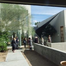
Arizona Falls occupies a natural 20-foot drop in Arcadia, where a restored 750-kilowatt hydroelectric plant and an art installation opened in June 2003. The site pairs power generation with public art on the canal's south bank.
The community of curious travelers
AroundUs brings together thousands of curated places, local tips, and hidden gems, enriched daily by 92,660 contributors worldwide.