Chest opened
+${chestReward.xp} XP
Explorer
NOUVEAU ×${chestReward.collectible.quantity}
tapez pour fermer

See the monuments around you in AR Open chests in the app

Around Us is built for your phone — point your camera at the streets and discover the monuments and places around you in augmented reality. Around Us is built for your phone — chests unlock when you walk, explore and capture nearby places.

Enable Location

We need your location to show you interesting places around you

Discover nearby places

Find interesting locations and hidden gems around you

Precise directions

Get accurate directions and distances to places

Your location is never shared with other users. It's only used when you tap the location button.

Fort Bowie National Historic Site

Log in to your account

Start exploring — it's free

Trusted by 85,640 travelers worldwide

Continue with Google
Continue with Apple
or

We will send you a code to connect

By continuing, you accept our Terms and Conditions and our Privacy Policy

Check your inbox

We've sent a pincode in your inbox. Please enter the code below.

Discussion Reviews 2 Photos
500+ Popularity

Fort Bowie National Historic Site, National historic site in Arizona, US

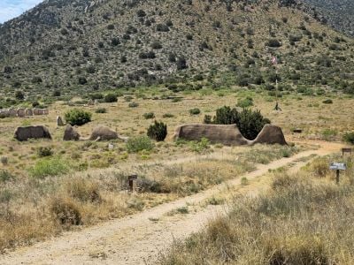
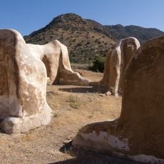
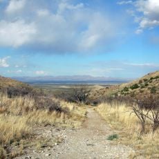
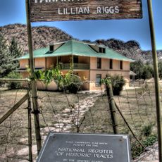
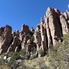
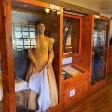
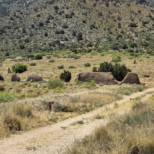
Fort Bowie National Historic Site is a protected area in southeastern Arizona, near the town of Bowie, centered on the ruins of a 19th-century military post at Apache Pass. The site includes adobe and stone building remains, a small on-site museum with artifacts, and a trail that passes a natural spring.

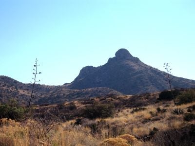
Apache Pass was used by Spanish travelers long before the fort was built, and it was a key route for the Apache people for generations. The military post was established in 1862 to control the pass and remained active until 1894, spanning the years of conflict with leaders such as Cochise and Geronimo.

Reaching the ruins requires walking a trail of roughly 1.5 miles (2.4 km) from the parking area, as no vehicles are allowed beyond that point. Summer heat can be intense at this elevation, so carrying water and planning the walk for the cooler parts of the day is strongly advisable.

Apache Pass was known by two Spanish names before the fort existed: Puerto del Dado, meaning Pass of Chance, and Puerto de la Muerte, meaning Pass of Death. The natural spring inside the pass was such a rare source of water in that desert that its location directly determined where the fort would be built.

The community of curious travelers

AroundUs brings together thousands of curated places, local tips, and hidden gems, enriched daily by 60,000 contributors worldwide.

Start exploring
Location
Inception
July 28, 1972
Operator
National Park Service
Address
3500 S Apache Pass Rd, Bowie, AZ 85605, USA
Opening Hours
Montag 08:30-16:00; Freitag-Sonntag 08:30-16:00
Phone
GPS coordinates
32.14597,-109.44364
Latest update
September 7, 2026 17:50
Around this place
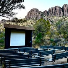
Chiricahua National Monument
United States of America

Chiricahua National Monument

10.7 mi
Fort Bowie
United States of America

Fort Bowie

0.4 mi
Apache Pass
United States of America

Apache Pass

2.3 mi
Faraway Ranch Historic District
United States of America

Faraway Ranch Historic District

10.2 mi
Bonita Canyon
United States of America

Bonita Canyon

10.8 mi
Chiricahua National Monument Historic Designed Landscape
United States of America

Chiricahua National Monument Historic Designed Landscape

11.5 mi
Chiricahua National Monument Visitor Center
United States of America

Chiricahua National Monument Visitor Center

11 mi
Fort Bowie Visitor Center
United States of America

Fort Bowie Visitor Center

0.4 mi
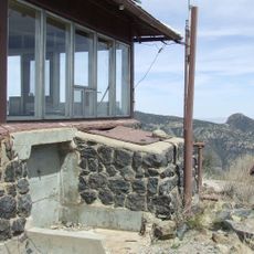
Sugarloaf Mountain Lookout
United States of America

Sugarloaf Mountain Lookout

11.5 mi
United States of America

Massai Point Orientation Station

12.3 mi
Heart of Rocks Loop Trail
United States of America

Heart of Rocks Loop Trail

12.6 mi
United States of America

Scenic viewpoint

12.3 mi
United States of America

Stream Beds

11 mi
United States of America

Scenic viewpoint

0.1 mi
United States of America

Natural Bridge

10.1 mi
United States of America

Bench, scenic viewpoint

0.3 mi
United States of America

Bench, scenic viewpoint

0.3 mi
United States of America

Wagon Massacre Site

2 mi
United States of America

Chiricahau Mountains Wilderness

11.7 mi
United States of America

Scenic viewpoint

11.5 mi
United States of America

Faraway ranch (guided tour)

10.4 mi
United States of America

Scenic viewpoint

10.8 mi
United States of America

Sea Captain

10.7 mi
United States of America

Jhus Falls

17.1 mi
United States of America

Waterfall

16.4 mi
United States of America

Wood Canyon Waterfall

9.4 mi
United States of America

Waterfall

7.1 mi
United States of America

Waterfall

7.1 mi
Show the full map
Reviews
Share your experience

No review yet

Discussions
Start a discussion...

No discussion yet

« Fort Bowie National Historic Site - National historic site in Arizona, US » is provided by Around Us (aroundus.com). Images and texts are derived from Wikimedia project under a Creative Commons license. You are allowed to copy, distribute, and modify copies of this page, under the conditions set by the license, as long as this note is clearly visible.

Discover hidden gems everywhere you go!

From secret cafés to breathtaking viewpoints, skip the crowded tourist spots and find places that match your style. Our app makes it easy with voice search, smart filtering, route optimization, and insider tips from travelers worldwide. Download now for the complete mobile experience.

Around Us App Screenshot

A unique approach to discovering new places

Le Figaro

All the places worth exploring

France Info

A tailor-made excursion in just a few clicks

20 Minutes

Around Us
Travel Guide & Maps
Download

Send to your phone

QR Code
1

Open the camera app on your mobile.

2

Point at the QR code with your camera. A notification will appear.

3

Tap the notification to open the link.