Chest opened
+${chestReward.xp} XP
Explorer
NOUVEAU ×${chestReward.collectible.quantity}
tapez pour fermer

See the monuments around you in AR Open chests in the app

Around Us is built for your phone — point your camera at the streets and discover the monuments and places around you in augmented reality. Around Us is built for your phone — chests unlock when you walk, explore and capture nearby places.

•

Enable Location

We need your location to show you interesting places around you

Discover nearby places

Find interesting locations and hidden gems around you

Precise directions

Get accurate directions and distances to places

Your location is never shared with other users. It's only used when you tap the location button.

Sabino Canyon

Log in to your account

Start exploring — it's free

Trusted by 92,766 travelers worldwide

Continue with Google
Continue with Apple
or

We will send you a code to connect

By continuing, you accept our Terms and Conditions and our Privacy Policy

Check your inbox

We've sent a pincode in your inbox. Please enter the code below.

Sabino Canyon, Canyon in Santa Catalina Mountains, Arizona.

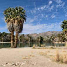
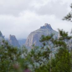
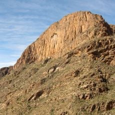
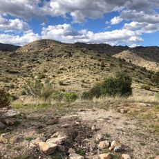
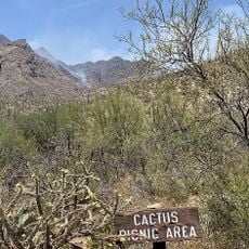
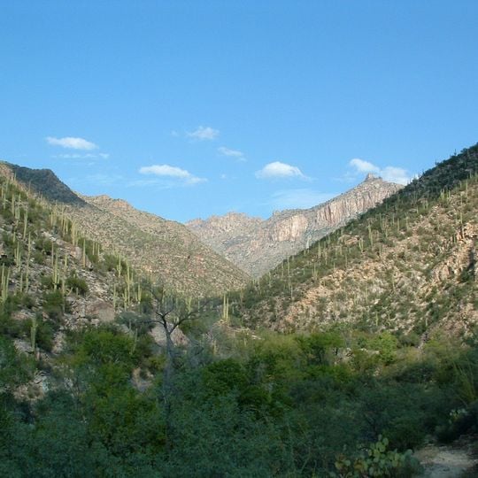
Sabino Canyon is a V-shaped canyon in the Santa Catalina Mountains of Coronado National Forest north of Tucson. Its steep slopes of tan, brown and grey rock carry saguaro cacti and low desert shrubs, and a central drainage runs between them. The canyon narrows toward the background, where distant ridges overlap.

The recreation area was developed by the United States Forest Service during the 1930s, when roads and bridges were built that still operate today. These early infrastructure projects first allowed public access to this previously isolated mountain location.

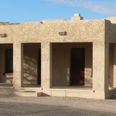
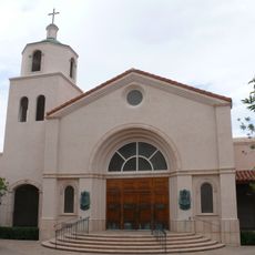
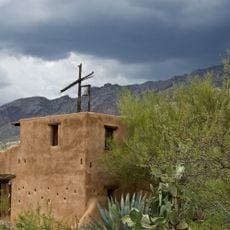
The name Sabino comes from the sabino tree, and the canyon's stonework carries local memory: hand-painted tiles at the entrance, decorated with southwestern themes, recognize major donors to Friends of Sabino Canyon. The non-profit, founded in 1993, holds an annual outdoor holiday concert, Music in the Canyon, to fund its work in the canyon.

An electric shuttle system runs daily with nine stops along the canyon road, providing access to different trailheads and places to swim. The shuttle makes it easy to explore the full length of the canyon without driving yourself.

The road into the canyon runs about 4.5 miles (7.2 km) and stops short of its intended goal: crews during the Great Depression meant to reach the top of Mount Lemmon, but the steep terrain at the canyon's end halted the work. The unfinished route is now the shuttle road.

The community of curious travelers

AroundUs brings together thousands of curated places, local tips, and hidden gems, enriched daily by 92,766 contributors worldwide.
Start exploring
Location
GPS coordinates
32.31670,-110.81700
Latest update
October 25, 2026 04:00
Reviews

Real people, real opinions — but not verified.

Share your experience
sandigrace
sandigrace · Mar 18
Discussions
Start a discussion...

No discussion yet

« Sabino Canyon - Canyon in Santa Catalina Mountains, Arizona » is provided by Around Us (aroundus.com). Images and texts are derived from Wikimedia project under a Creative Commons license. You are allowed to copy, distribute, and modify copies of this page, under the conditions set by the license, as long as this note is clearly visible.

Discover hidden gems everywhere you go!

From secret cafés to breathtaking viewpoints, skip the crowded tourist spots and find places that match your style. Our app makes it easy with voice search, smart filtering, route optimization, and insider tips from travelers worldwide. Download now for the complete mobile experience.

Around Us App Screenshot
❝

A unique approach to discovering new places❞

— Le Figaro

❝

All the places worth exploring❞

— France Info

❝

A tailor-made excursion in just a few clicks❞

— 20 Minutes

Around Us
Travel Guide & Maps
Download

Send to your phone

QR Code
1

Open the camera app on your mobile.

2

Point at the QR code with your camera. A notification will appear.

3

Tap the notification to open the link.