Browns Peak, Berggipfel in den Vereinigten Staaten
Location: Gila County
Part of: Four Peaks
GPS coordinates: 33.68417,-111.32528
Latest update: November 14, 2025 06:12
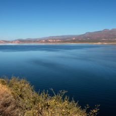
Theodore Roosevelt Lake
16.3 km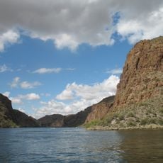
Canyon Lake
18.8 km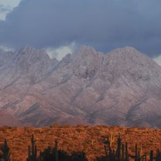
Four Peaks
46 m
Skeleton Cave
12.1 km
Sears-Kay Ruin
18.2 km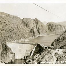
Mormon Flat Dam
18.1 km
Roosevelt Lake Bridge
15.6 km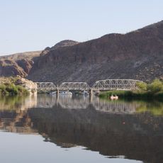
Boulder Creek Bridge
19.1 km
Painted Cliffs
9.7 km
Alchesay Canyon
15.1 km
Walls of Bronze
12.2 km
Malpais Cliffs
8.7 km
Inspiration Point
14.5 km
Glendale Point
13.5 km
Ittindi Rock
18.5 km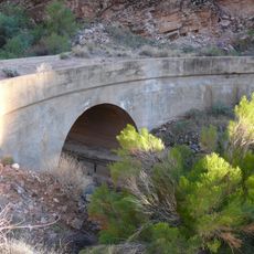
Alchesay Canyon Bridge
15.5 km
Satchin Cliff
18.2 km
Fish Beach
12.2 km
Back Beach
12.3 km
Buckhorn Beach
12.5 km
Black Rock
11 km
Sandy Beach
18.6 km
Pine Cove
13.3 km
Scenic viewpoint
15.1 km
Scenic viewpoint
15.5 km
Scenic viewpoint
15.5 km
Scenic viewpoint
15.1 km
Scenic viewpoint
18.6 kmReviews
Visited this place? Tap the stars to rate it and share your experience / photos with the community! Try now! You can cancel it anytime.
Discover hidden gems everywhere you go!
From secret cafés to breathtaking viewpoints, skip the crowded tourist spots and find places that match your style. Our app makes it easy with voice search, smart filtering, route optimization, and insider tips from travelers worldwide. Download now for the complete mobile experience.

A unique approach to discovering new places❞
— Le Figaro
All the places worth exploring❞
— France Info
A tailor-made excursion in just a few clicks❞
— 20 Minutes