Greenlee County

Log in to your account

AroundUs is a community-driven map of interesting places, built by curious explorers like you. It grows with every review, story, and photo you share.
Connect to save your favorite spots, contribute locations, and create personalized routes.
By continuing, you accept our Terms and Conditions and our Privacy Policy
Add to collection
Map
Suggest a change
Share

Greenlee County, Administrative division in southeastern Arizona, United States.

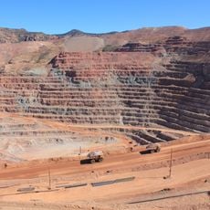
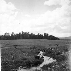
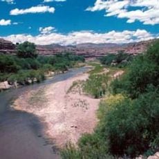
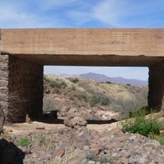
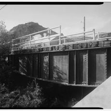
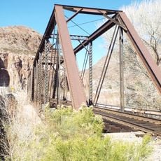
This county in southeastern Arizona spans mountainous land with forests and rivers running through it. The landscape is shaped around the Morenci Mine, one of North America's largest copper operations.

The area was established in 1909 and named after Mason Greenlee, an early settler who helped develop the region. Its creation came during the growth of Arizona's copper mining industry.

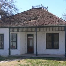
Mining traditions shape daily life here, defining how communities connect and celebrate together. Local gatherings and festivals reflect the strong ties residents maintain with their working heritage.

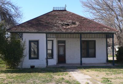
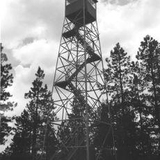
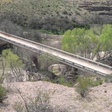
The area is sparsely populated and mountainous, offering visitors room to explore varied terrain. Services and facilities tend to concentrate in a few settlements, so plan for travel distances between towns.

Despite its small population, the area maintains four separate school districts serving scattered communities. This division reveals how spread out settlements are across the vast, sparsely populated landscape.

Location: Arizona

Inception: 1909

Capital city: Clifton

Shares border with: Apache County, Graham County, Cochise County, Hidalgo County, Grant County, Catron County

Website: https://greenlee.az.gov

GPS coordinates: 33.10167,-109.26861

Latest update: December 7, 2025 09:28

Photos
Around this place
Show the full map
Large Binocular Telescope
United States of America

Large Binocular Telescope

73.1 km
Vatican Advanced Technology Telescope
United States of America

Vatican Advanced Technology Telescope

73.4 km
Mount Graham
United States of America

Mount Graham

71.8 km
Morenci Mine
United States of America

Morenci Mine

9.2 km
Mount Graham International Observatory
United States of America

Mount Graham International Observatory

73.4 km
Mogollon
United States of America

Mogollon

54.8 km
Roper Lake State Park
United States of America

Roper Lake State Park

56.1 km
Heinrich Hertz Submillimeter Telescope
United States of America

Heinrich Hertz Submillimeter Telescope

73.3 km
Apache National Forest
United States of America

Apache National Forest

56.3 km
Gila Box Riparian National Conservation Area
United States of America

Gila Box Riparian National Conservation Area

28.4 km
Point of Pines Sites
United States of America

Point of Pines Sites

51.4 km
Park Avenue Bridge
United States of America

Park Avenue Bridge

5.8 km
L.C. Ranch Headquarters
United States of America

L.C. Ranch Headquarters

66 km
Whitewater Creek
United States of America

Whitewater Creek

42.8 km
Clifton Townsite Historic District
United States of America

Clifton Townsite Historic District

5.8 km
William Talley House
United States of America

William Talley House

51.2 km
Benjamin F. Billingsley House
United States of America

Benjamin F. Billingsley House

45 km
PS Knoll Lookout Complex
United States of America

PS Knoll Lookout Complex

73.7 km
Gila River Bridge
United States of America

Gila River Bridge

15.6 km
Graham County Courthouse
United States of America

Graham County Courthouse

51.4 km
Columbine Work Station
United States of America

Columbine Work Station

74.8 km
Mogollon Baldy Lookout Cabin
United States of America

Mogollon Baldy Lookout Cabin

65.6 km
Black Gap Bridge
United States of America

Black Gap Bridge

17.9 km
James R. Welker House
United States of America

James R. Welker House

51.4 km
Woman's Club
United States of America

Woman's Club

50.9 km
Cosmic Campground
United States of America

Cosmic Campground

53 km
Chase Creek Railroad Bridge
United States of America

Chase Creek Railroad Bridge

5.7 km
Mogollon Baldy Lookout
United States of America

Mogollon Baldy Lookout

65.6 km
Show the full map
Reviews

Visited this place? Tap the stars to rate it and share your experience / photos with the community! Try now! You can cancel it anytime.

Administrative divisions
« Greenlee County - Administrative division in southeastern Arizona, United States » is provided by Around Us (aroundus.com). Images and texts are derived from Wikimedia project under a Creative Commons license. You are allowed to copy, distribute, and modify copies of this page, under the conditions set by the license, as long as this note is clearly visible.

Discover hidden gems everywhere you go!

From secret cafés to breathtaking viewpoints, skip the crowded tourist spots and find places that match your style. Our app makes it easy with voice search, smart filtering, route optimization, and insider tips from travelers worldwide. Download now for the complete mobile experience.

Around Us App Screenshot

A unique approach to discovering new places

Le Figaro

All the places worth exploring

France Info

A tailor-made excursion in just a few clicks

20 Minutes