
Valley of Fires State Park, state park in Lincoln County, New Mexico, United States
Location: Lincoln County
Website: https://www.blm.gov/visit/valley-of-fires
Website: https://blm.gov/visit/valley-of-fires
GPS coordinates: 33.73333,-105.92500
Latest update: March 26, 2025 10:47
McDonald Ranch House
50.4 km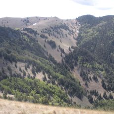
Lincoln National Forest
102.7 km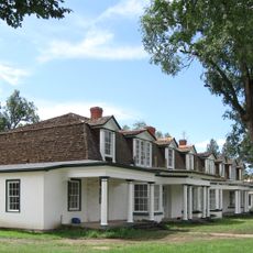
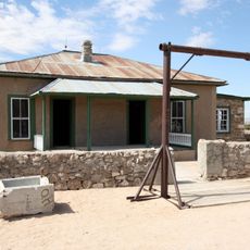
Fort Stanton
45.6 km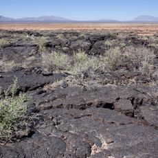
Carrizozo Malpais
55.1 km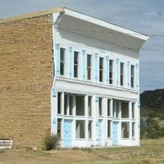
White Oaks
17.5 km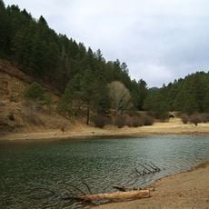
Bonito Lake
35.7 km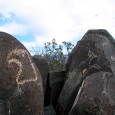
Three Rivers Petroglyph Site
43.8 km
White Mountain Wilderness
36.7 km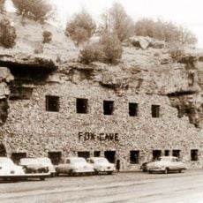
Fox Cave
54.9 km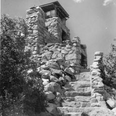
Monjeau Lookout
38.2 km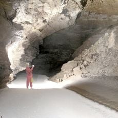
Fort Stanton – Snowy River Cave National Conservation Area
49.8 km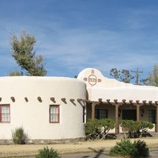
Carrizozo Woman's Club
11 km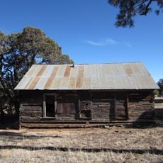
Jicarilla Schoolhouse
28.8 km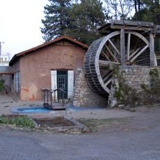
Old Dowlin Mill
52.4 km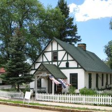
Fort Stanton Museum
45.6 km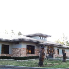
Ruidoso Public Library
49.2 km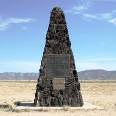
Trinity Site
51.4 km
Spencer Theater for the Performing Arts
44.7 km
Tunstall Store
56.6 km
Fort Stanton Hospital Administration Building
45.6 km
Smokey Bear Vista Point
44 km
Convento
56.7 km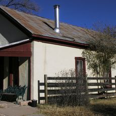
Curry Saloon
56.3 km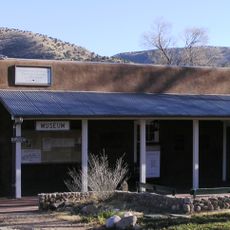
Anderson-Freeman Museum and Visitors Center
56.8 km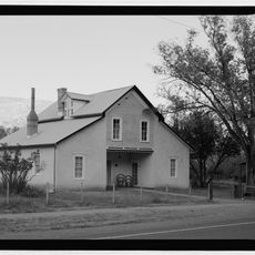
Dr. Woods House
56.4 km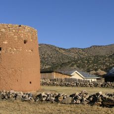
Torreon
56.7 km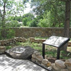
Smokey Bear Interpretive Trail
38.6 km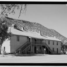
Old Lincoln County Courthouse
56.3 kmReviews
Visited this place? Tap the stars to rate it and share your experience / photos with the community! Try now! You can cancel it anytime.
Discover hidden gems everywhere you go!
From secret cafés to breathtaking viewpoints, skip the crowded tourist spots and find places that match your style. Our app makes it easy with voice search, smart filtering, route optimization, and insider tips from travelers worldwide. Download now for the complete mobile experience.

A unique approach to discovering new places❞
— Le Figaro
All the places worth exploring❞
— France Info
A tailor-made excursion in just a few clicks❞
— 20 Minutes