Enable Location

We need your location to show you interesting places around you

Discover nearby places

Find interesting locations and hidden gems around you

Precise directions

Get accurate directions and distances to places

Your location is never shared with other users. It's only used when you tap the location button.

Lincoln County

Log in to your account

Start exploring — it's free

Trusted by 61,319 travelers worldwide

Continue with Google
Continue with Apple
or

We will send you a code to connect

By continuing, you accept our Terms and Conditions and our Privacy Policy

Check your inbox

We've sent a pincode in your inbox. Please enter the code below.

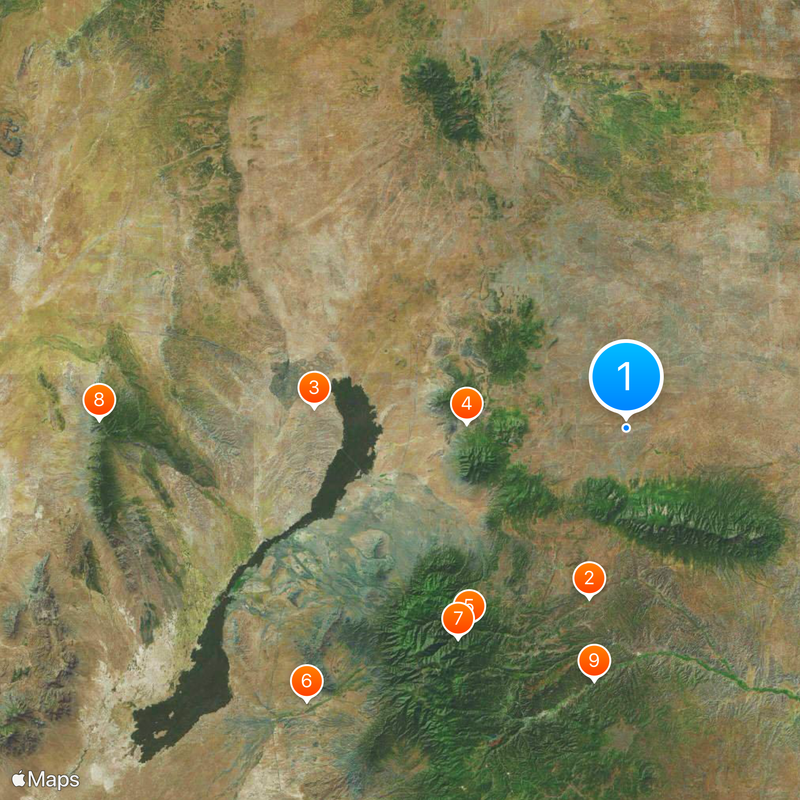
Lincoln County, Administrative division in New Mexico, United States.

Description

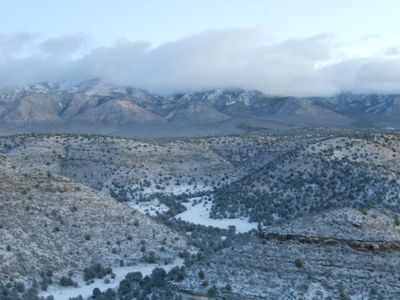
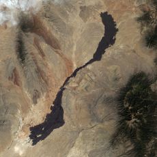
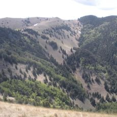
Lincoln County is an administrative division in New Mexico covering roughly 4,830 square miles (12,500 square kilometers) of terrain. The county encompasses several communities, including Carrizozo and Ruidoso, positioned across the landscape.

History

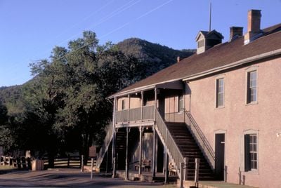
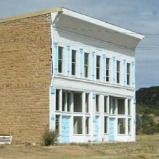
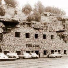
The Lincoln County War erupted during the 1870s as an armed conflict between rival rancher and merchant factions. William Bonney, known as Billy the Kid, played a key role in the fighting until territorial governor Lew Wallace extended an amnesty offer to end the hostilities.

Culture

The Ruidoso Downs Racetrack and Casino draws visitors throughout the year for horse racing events, with the All American Futurity being one of the region's most important competitions. These races have become a central gathering point for people interested in equestrian sports.

Practical

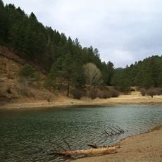
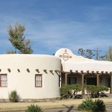
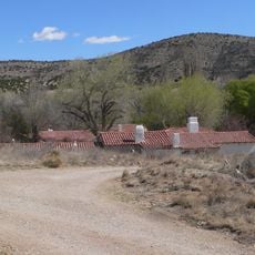
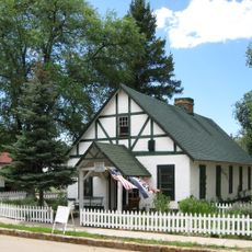
The region is best accessed through its main communities, with Ruidoso and Carrizozo serving as good starting points for exploration. Visitors should expect varying elevations and transitions between flat and hilly terrain throughout the area.

Did you know?

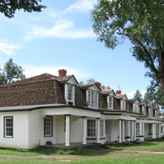
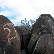
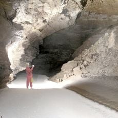
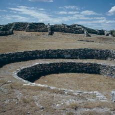
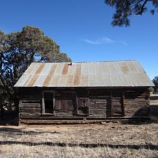
The area holds strong connections to Wild West history, with several locations preserving memories of the era's conflicts and frontier figures. Today visitors can explore historical sites that document this tumultuous past.

Location
Inception
1869
Capital city
Carrizozo
Shares border with
Torrance County, Guadalupe County, De Baca County, Chaves County, Otero County, Sierra County, Socorro County
GPS coordinates
33.74000,-105.46000
Latest update
December 17, 2025 08:07

AroundUs brings together thousands of curated places, local tips, and hidden gems, enriched daily by 60,000 contributors worldwide. Discover all places nearby (New Mexico).

Around this place
Fort Stanton
United States of America

Fort Stanton

27.8 km
Carrizozo Malpais
United States of America

Carrizozo Malpais

50.1 km
White Oaks
United States of America

White Oaks

25.6 km
Bonito Lake
United States of America

Bonito Lake

40.4 km
Three Rivers Petroglyph Site
United States of America

Three Rivers Petroglyph Site

67.4 km
White Mountain Wilderness
United States of America

White Mountain Wilderness

43.1 km
United States of America

North Oscura Peak

84.5 km
Fox Cave
United States of America

Fox Cave

40.8 km
Lincoln Historic District
United States of America

Lincoln Historic District

28.2 km
Monjeau Lookout
United States of America

Monjeau Lookout

42.6 km
United States of America

Lincoln State Monument

28.2 km
Fort Stanton – Snowy River Cave National Conservation Area
United States of America

Fort Stanton – Snowy River Cave National Conservation Area

28 km
United States of America

Las Humanas

82 km
Carrizozo Woman's Club
United States of America

Carrizozo Woman's Club

40.3 km
United States of America

Ruidoso Lookout Tower

49.2 km
Gran Quivera Historic District
United States of America

Gran Quivera Historic District

83.3 km
Peter and Henriette Wyeth Hurd House
United States of America

Peter and Henriette Wyeth Hurd House

39.3 km
United States of America

New Mexico Military Institute Summer Camp, Main Building

52 km
United States of America

Aguayo Family Homestead

35.4 km
Jicarilla Schoolhouse
United States of America

Jicarilla Schoolhouse

22.5 km
Old Dowlin Mill
United States of America

Old Dowlin Mill

49.5 km
United States of America

Hopeful Lode

40.9 km
United States of America

Carrizozo Commercial Historic District

40 km
United States of America

El Paso and Southwestern Railway Water Supply System

34.3 km
Fort Stanton Museum
United States of America

Fort Stanton Museum

28 km
Ruidoso Public Library
United States of America

Ruidoso Public Library

47.2 km
United States of America

Smokey Bear Museum

24.1 km
Spencer Theater for the Performing Arts
United States of America

Spencer Theater for the Performing Arts

36.5 km
Show the full map
Administrative divisions
« Lincoln County - Administrative division in New Mexico, United States » is provided by Around Us (aroundus.com). Images and texts are derived from Wikimedia project under a Creative Commons license. You are allowed to copy, distribute, and modify copies of this page, under the conditions set by the license, as long as this note is clearly visible.

Discover hidden gems everywhere you go!

From secret cafés to breathtaking viewpoints, skip the crowded tourist spots and find places that match your style. Our app makes it easy with voice search, smart filtering, route optimization, and insider tips from travelers worldwide. Download now for the complete mobile experience.

Around Us App Screenshot

A unique approach to discovering new places

Le Figaro

All the places worth exploring

France Info

A tailor-made excursion in just a few clicks

20 Minutes

Around Us
Travel Guide & Maps
Download

Send to your phone

QR Code
1

Open the camera app on your mobile.

2

Point at the QR code with your camera. A notification will appear.

3

Tap the notification to open the link.