Enable Location

We need your location to show you interesting places around you

Discover nearby places

Find interesting locations and hidden gems around you

Precise directions

Get accurate directions and distances to places

Your location is never shared with other users. It's only used when you tap the location button.

Carrizozo

Log in to your account

Start exploring — it's free

Trusted by 63,229 travelers worldwide

Continue with Google
Continue with Apple
or

We will send you a code to connect

By continuing, you accept our Terms and Conditions and our Privacy Policy

Check your inbox

We've sent a pincode in your inbox. Please enter the code below.

Discussion Reviews 1 Photos
17.9k Popularity

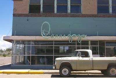
Carrizozo, town in and county seat of Lincoln County, New Mexico, United States

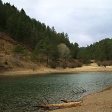
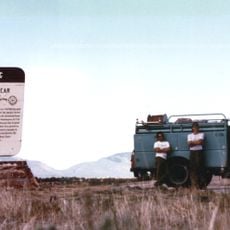
Carrizozo is a small town in Lincoln County, New Mexico, located on flat terrain covered in short grasses and desert shrubs. The town sits at the intersection of U.S. Routes 54 and 380 and has a small airport for regional travel, making it accessible from different parts of the state.

The town was founded in 1899 when the El Paso and Northeastern Railway came through the area, bringing workers and settlers to the region. In 1909, Carrizozo became the county seat of Lincoln County, establishing its role as the local government center.

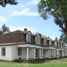
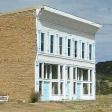
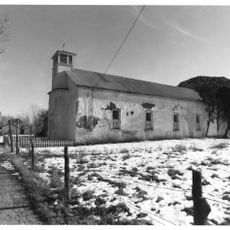
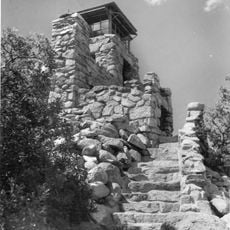
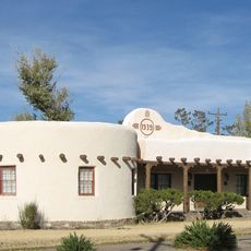
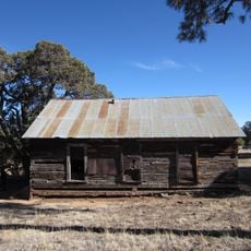
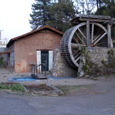
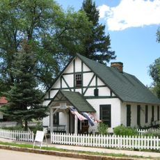
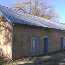
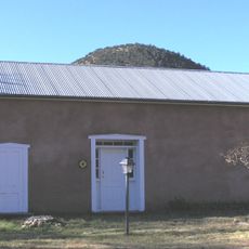
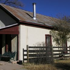
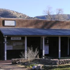
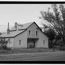
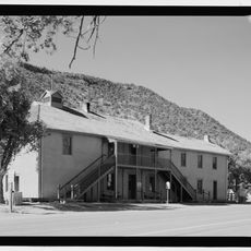
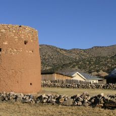
The name Carrizozo comes from the Corrizo flats, named after the short grasses and desert shrubs that cover the land. Today, visitors walk the historic streets and explore early 20th-century buildings that reflect the town's roots and the slow pace of life that defines the community.

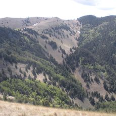
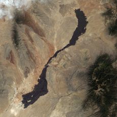
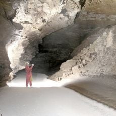
Visitors should prepare for a semi-arid climate with hot summers reaching the 30s Celsius and cool winters with occasional snow, making spring and fall the most comfortable seasons for exploring. The open landscape offers good visibility for viewing nearby mountains and the dark lava flow to the west, which can be accessed through the Valley of Fires area.

Local cider produced in the town has gained recognition in recent years, bringing renewed attention to the area. The historic streets and countryside have also served as filming locations for movies like 'The Book of Eli' and 'Gambit', attracting visitors interested in movie history.

The community of curious travelers

AroundUs brings together thousands of curated places, local tips, and hidden gems, enriched daily by 60,000 contributors worldwide.

Start exploring
Location
Elevation above the sea
1,657 m
GPS coordinates
33.64389,-105.87750
Latest update
February 17, 2026 00:00
Around this place
Lincoln National Forest
United States of America

Lincoln National Forest

92 km
Fort Stanton
United States of America

Fort Stanton

36.7 km
Carrizozo Malpais
United States of America

Carrizozo Malpais

18 km
White Oaks
United States of America

White Oaks

17.4 km
Bonito Lake
United States of America

Bonito Lake

24.9 km
Three Rivers Petroglyph Site
United States of America

Three Rivers Petroglyph Site

35.3 km
White Mountain Wilderness
United States of America

White Mountain Wilderness

25.8 km
Fox Cave
United States of America

Fox Cave

44.8 km
Lincoln Historic District
United States of America

Lincoln Historic District

48.8 km
Monjeau Lookout
United States of America

Monjeau Lookout

27.3 km
Fort Stanton – Snowy River Cave National Conservation Area
United States of America

Fort Stanton – Snowy River Cave National Conservation Area

41.1 km
Carrizozo Woman's Club
United States of America

Carrizozo Woman's Club

186 m
Jicarilla Schoolhouse
United States of America

Jicarilla Schoolhouse

31.8 km
Old Dowlin Mill
United States of America

Old Dowlin Mill

41.6 km
Fort Stanton Museum
United States of America

Fort Stanton Museum

36.7 km
Ruidoso Public Library
United States of America

Ruidoso Public Library

38.4 km
Spencer Theater for the Performing Arts
United States of America

Spencer Theater for the Performing Arts

34.6 km
Tunstall Store
United States of America

Tunstall Store

48.5 km
Fort Stanton Hospital Administration Building
United States of America

Fort Stanton Hospital Administration Building

36.6 km
Smokey Bear Vista Point
United States of America

Smokey Bear Vista Point

35.8 km
Montano Store
United States of America

Montano Store

48.7 km
Convento
United States of America

Convento

48.6 km
Curry Saloon
United States of America

Curry Saloon

48.2 km
Anderson-Freeman Museum and Visitors Center
United States of America

Anderson-Freeman Museum and Visitors Center

48.7 km
Dr. Woods House
United States of America

Dr. Woods House

48.3 km
Old Lincoln County Courthouse
United States of America

Old Lincoln County Courthouse

48.1 km
Smokey Bear Interpretive Trail
United States of America

Smokey Bear Interpretive Trail

30.2 km
Torreon
United States of America

Torreon

48.6 km
Show the full map
Reviews
Share your experience

No review yet

Discussions
Start a discussion...

No discussion yet

« Carrizozo - town in and county seat of Lincoln County, New Mexico, United States » is provided by Around Us (aroundus.com). Images and texts are derived from Wikimedia project under a Creative Commons license. You are allowed to copy, distribute, and modify copies of this page, under the conditions set by the license, as long as this note is clearly visible.

Discover hidden gems everywhere you go!

From secret cafés to breathtaking viewpoints, skip the crowded tourist spots and find places that match your style. Our app makes it easy with voice search, smart filtering, route optimization, and insider tips from travelers worldwide. Download now for the complete mobile experience.

Around Us App Screenshot

A unique approach to discovering new places

Le Figaro

All the places worth exploring

France Info

A tailor-made excursion in just a few clicks

20 Minutes

Around Us
Travel Guide & Maps
Download

Send to your phone

QR Code
1

Open the camera app on your mobile.

2

Point at the QR code with your camera. A notification will appear.

3

Tap the notification to open the link.