Cocos Island National Park, National park on Cocos Island, Costa Rica.
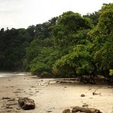
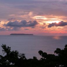
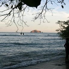
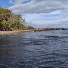
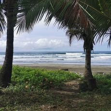
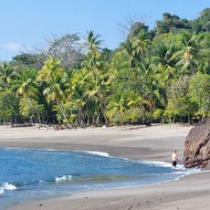
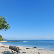
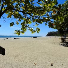
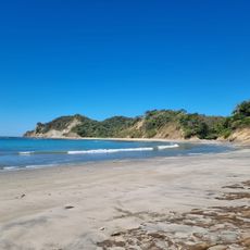
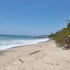
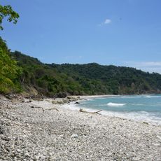
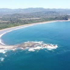
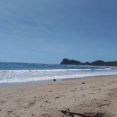
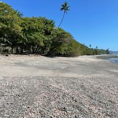
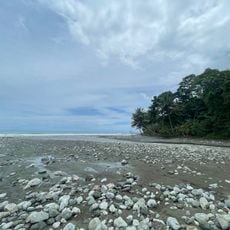
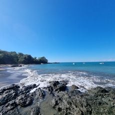
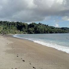
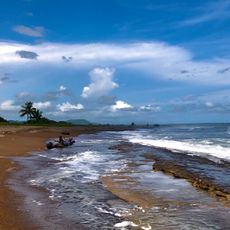
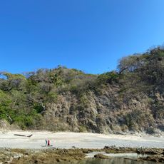
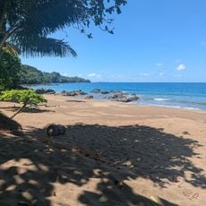
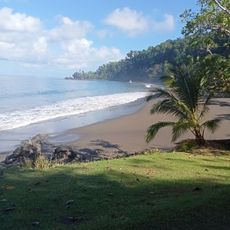
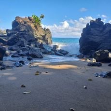
Cocos Island National Park covers Isla del Coco and surrounding islets and marine area, about 532 kilometers from Costa Rica's Pacific coast. The island spans 2,400 hectares of steep, broken terrain with cliffs up to 183 meters and numerous submarine caves. An evergreen forest covers the land, and waterfalls form during heavy rains, some plunging directly into the sea.
Joan Cabezas reached the island in 1526, and it was first recorded as "Coques" on Nicolas Desliens's 1541 chart. In 1869 President Jesús Jiménez sent Rafael Oreamuno, who raised the Costa Rican flag there. Under Tomás Guardia (1876–1882) it served as a penal colony for political prisoners.
The island was long a refuge for pirates who sought shelter here and left behind legends of hidden treasures. These stories still shape how people view the place today and draw visitors curious about this mysterious past.
Reaching the island requires long boat trips from the mainland, as there are no regular flights available. Visitors should prepare for rough sea conditions and aim to visit between December and April, when the weather is more stable.
The island's name is often explained by its shape: a coconut with water inside, since fresh water is scarce for hundreds of kilometres around yet over 2000 waterfalls have been counted falling into the sea during heavy rains.
The community of curious travelers
AroundUs brings together thousands of curated places, local tips, and hidden gems, enriched daily by 94,151 contributors worldwide.