Suchitepéquez Department, Department with agricultural heritage in southwestern Guatemala
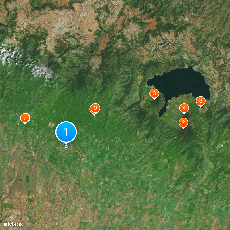
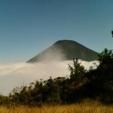
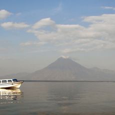
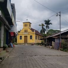
Suchitepéquez is an administrative region in southwestern Guatemala built on volcanic terrain with fertile soil. Multiple rivers cross the territory, flowing toward the Pacific, and Mazatenango serves as the region's main administrative center.
The territory was home to K'iche and Tz'utujil kingdoms before Spanish arrival, with these groups establishing their power and culture here. Spanish conquest led by Pedro de Alvarado in the 16th century marked a major turning point for these peoples.
People here speak K'iche, Tz'utujil, and Kaqchikel alongside Spanish, shaping daily conversations and community life. These languages reflect the region's indigenous roots and appear in place names, market interactions, and family practices that have lasted generations.
The region connects to Guatemala City through a road network, making travel to other parts of the country straightforward. Visitors can find lodging and services in Mazatenango, which serves as a convenient base for exploring the area.
The Carnival of Mazatenango, celebrated since 1885, transforms the city each year with parades and cultural performances. This event draws visitors seeking to experience the local tradition and energy of the celebration firsthand.
The community of curious travelers
AroundUs brings together thousands of curated places, local tips, and hidden gems, enriched daily by 60,000 contributors worldwide.