Volcán Atitlán, Active stratovolcano in Sololá, Guatemala
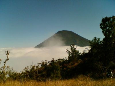
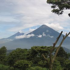
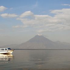
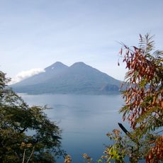
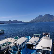
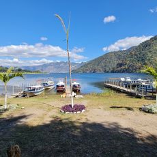
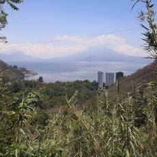
Volcán Atitlán is an active stratovolcano in the Sololá region with a conical shape and a crater measuring about 250 meters across and 50 meters deep, rising to 3,535 meters in elevation. The mountain is covered in dense forest that thins as altitude increases, falling steeply toward Lake Atitlán and creating a striking landscape.
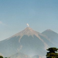
The volcano was highly active between 1469 and 1853, with over twelve recorded eruptions documented during this period, with its final known eruption occurring in 1853. Since then it has remained quiet over the following centuries, though it is still considered geologically active today.
Local Maya communities view this volcano as a sacred place where they perform rituals at different points along its slopes. These practices remain part of everyday spiritual life in the region and are passed down through families.
The hike to the summit takes approximately eight hours from San Lucas Tolimán following the southern route through Chanán and requires good physical fitness. Weather conditions can change rapidly, especially at higher elevations, so proper clothing and preparation are essential.
The mountain harbors two rare bird species, the horned guan and the blue-rumped tanager, found exclusively in this regional ecosystem. These species depend on the specialized habitats of the cloud forests that thrive on the volcano's slopes.
The community of curious travelers
AroundUs brings together thousands of curated places, local tips, and hidden gems, enriched daily by 60,000 contributors worldwide.