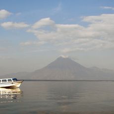
Santa María, Stratovolcano in Quetzaltenango Department, Guatemala.
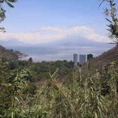
Santa María is an andesite stratovolcano in Quetzaltenango Department, western Guatemala, forming part of the Sierra Madre mountain chain. Its summit reaches 3,772 meters (12,375 feet) above sea level and sits above a tectonic plate boundary that drives frequent seismic activity.
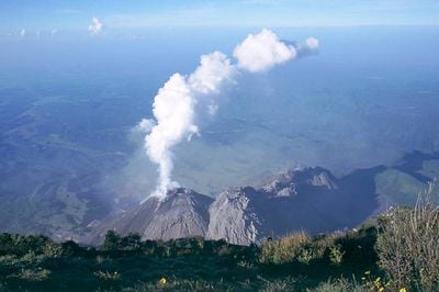
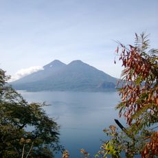
The summit erupted in October 1902 after centuries of quiet, hurling ash as far as California while mudflows killed around 6,000 people in surrounding villages. Twenty years after that disaster, the Santiaguito dome complex began growing on the southern flank and has remained continuously active ever since.
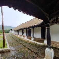
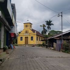
The K'iche' people called the mountain Gagxanul, or Naked Mountain, referring to its bare slopes before Spanish contact. That original name disappeared over time as the Spanish introduced the Christian name, though the earlier reference recalls how communities viewed the peak before colonization.
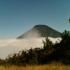
Several viewpoints along marked trails let visitors observe Santiaguito activity from a safe distance, especially during clear morning hours. The routes require good physical condition and sturdy footwear because the ascents cross loose volcanic rock and thick vegetation.
The Santiaguito dome structure has produced periodic explosions since forming in 1922, sometimes occurring several times daily and audible from great distances when conditions are clear. This constant activity makes the southern slope one of the few places on Earth where visitors can watch lava flows and pyroclastic material in real time.
The community of curious travelers
AroundUs brings together thousands of curated places, local tips, and hidden gems, enriched daily by 60,000 contributors worldwide.