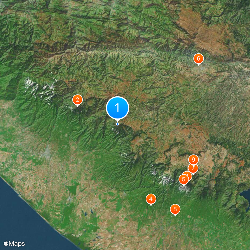
Volcán Tajumulco, Stratovolcano in San Marcos, Guatemala
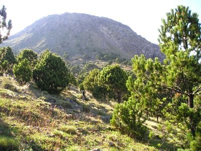
Volcán Tajumulco is a dacite stratovolcano in San Marcos Department, Guatemala, rising to 4,220 meters (13,845 feet) above sea level. Its two separate summits lie roughly 400 meters (1,300 feet) apart, with the higher one dominating the landscape and the crater spanning between 50 and 70 meters (165 and 230 feet) in width.
This peak last showed recorded activity in the early 19th century, though scientific confirmation of those reports remains under review. The mountain was known and revered by Mam communities for centuries before Spanish chroniclers first mapped it.
The name Tajumulco comes from the Mam language and means "ten hills" , referring to the surrounding landscape that indigenous groups have known for centuries. Visitors today can still encounter Mam speakers in nearby villages who consider the slopes part of their ancestral territory.
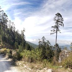
The hike from Tuichán village to the summit usually takes about five hours, with local guides available to help navigate the terrain. Sturdy hiking boots and warm clothing are important, as temperatures drop significantly near the top, especially at night.
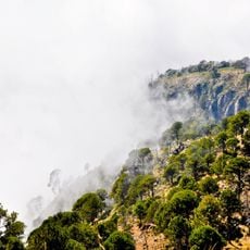
This summit is the highest point in Central America and ranks 24th worldwide in terms of topographic prominence. Clear days allow views across the border into Mexico and toward nearby Guatemalan coasts.
The community of curious travelers
AroundUs brings together thousands of curated places, local tips, and hidden gems, enriched daily by 60,000 contributors worldwide.