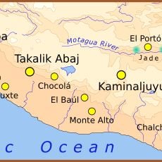
San Marcos Department, Administrative department in southwestern Guatemala
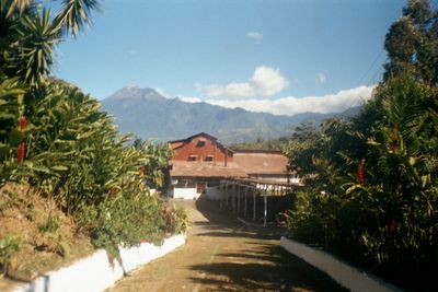
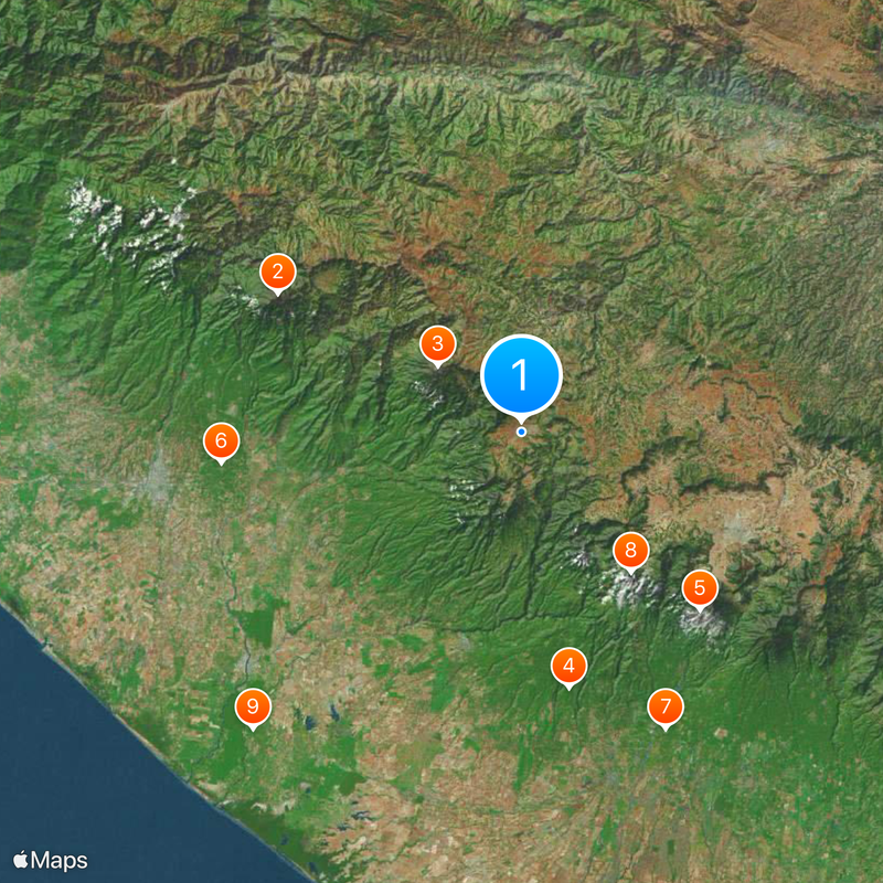
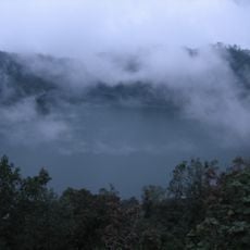
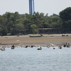
San Marcos Department occupies southwestern Guatemala, stretching from the Pacific coast to the Sierra Madre mountains. The landscape includes tropical lowlands, fertile highlands, and volcanic peaks distributed across approximately 30 municipalities.
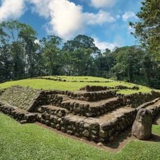
Spanish conquistadors established control over the region during the 1520s. The territory became an official governmental department on May 8, 1866.
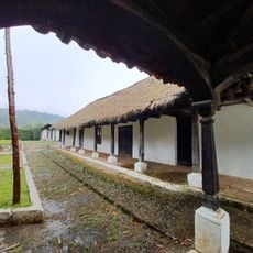
The Mam Maya population shapes daily life across the region, maintaining their languages, weaving practices, and ceremonies in communities throughout the department. These traditions remain visible in local markets and celebrations that visitors can observe.
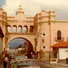
The Pan-American Highway connects the region to nearby areas, with regular bus services linking the municipalities and Guatemala City. Visitors should expect mountainous terrain and variable road conditions throughout the department.
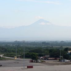
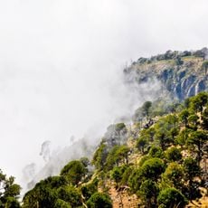
This region produces more wool than any other part of the country, and contains Tajumulco volcano, which reaches 4,220 meters and stands as Central America's highest peak. The volcano is a defining geographical feature that shapes the landscape.
The community of curious travelers
AroundUs brings together thousands of curated places, local tips, and hidden gems, enriched daily by 60,000 contributors worldwide.