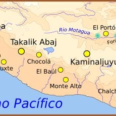
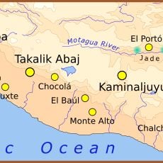
Takalik Abaj, Pre-Columbian archaeological site in El Asintal, Guatemala.
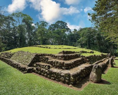
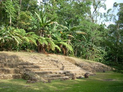
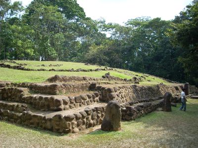
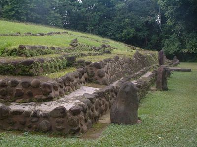
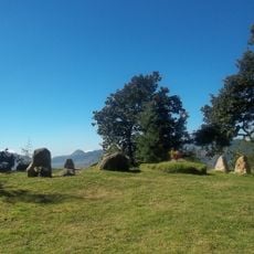
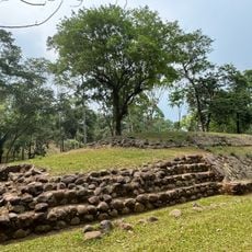
Takalik Abaj is an archaeological complex with nine terraces containing 70 monumental structures, stone sculptures, and ceremonial platforms spread across a forested subtropical landscape. The various buildings are distributed across the site and together form a large religious and administrative center.
The settlement began around 2,600 years ago and flourished until the 10th century, when it became a major trading point between distant regions. The long history shows how people occupied and reshaped this place over many centuries.
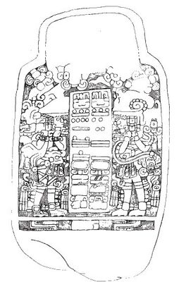
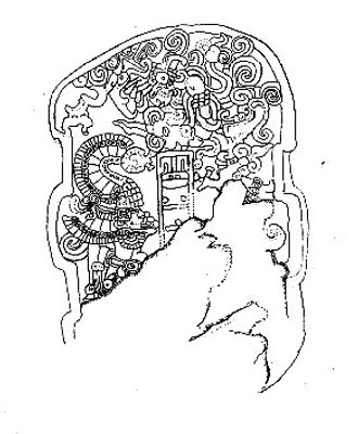
The monuments here display three distinct artistic styles: Olmec sculptures, Izapan carvings, and Classic Maya hieroglyphic inscriptions that record royal activities. Each style tells the story of the people who lived and traded here.
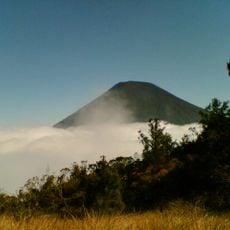
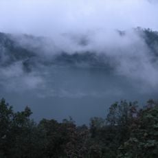
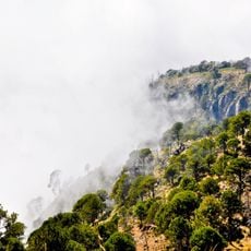
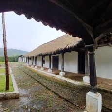
Visitors can join guided tours through the archaeological structures with informative panels explaining the significance of each monument. The site lies in a forested area, so come prepared for uneven ground and humid conditions.
A sophisticated water system is integrated into the architectural design, showing the residents had advanced technical knowledge for managing water. This engineering work was not only practical but likely played an important role in religious rituals.
The community of curious travelers
AroundUs brings together thousands of curated places, local tips, and hidden gems, enriched daily by 60,000 contributors worldwide.