Zaculeu, Archaeological site in Huehuetenango, Guatemala.
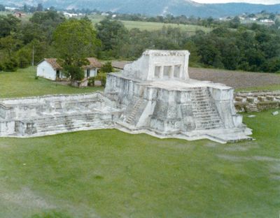
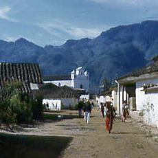
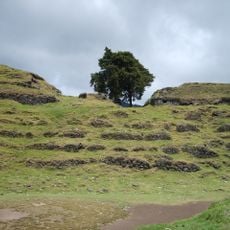
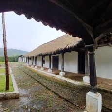
Zaculeu is a Mayan settlement in Huehuetenango, Guatemala, perched on a natural plateau at roughly 1900 meters above sea level. The compound features several pyramid temples arranged around open plazas, along with a ball court and buildings with broad twin staircases.
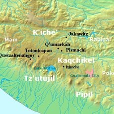
The settlement grew between 250 and 600 CE, drawing influence from distant Teotihuacán and becoming a key center in the western highlands. In 1525, Gonzalo de Alvarado took the city after a prolonged siege, ending the independent rule of the region.
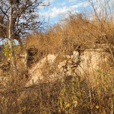
The compound takes its name from the Mam language, where Zaculeu means White Earth, a reference to the pale stucco that still covers the stone platforms. Visitors today see this coating restored on several temples, giving the place a clean, geometric appearance that stands out against the surrounding hills.
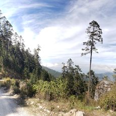
The compound sits on a plateau bordered by steep ravines on two sides, with a single land access from the north. Visitors should wear sturdy footwear, as the paths can be uneven and the temple steps quite steep.
Excavations uncovered metal objects made from tumba, a gold-copper alloy, pointing to long-distance trade links during the Postclassic period. Such finds are rare in the region and show that the city took part in wider exchange routes.
The community of curious travelers
AroundUs brings together thousands of curated places, local tips, and hidden gems, enriched daily by 60,000 contributors worldwide.