
Cerro Chiquito, volcano in Guatemala
Location: Guatemala Department
GPS coordinates: 14.38333,-90.60000
Latest update: June 5, 2025 05:23
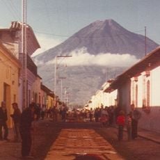
Volcán de Agua
17.9 km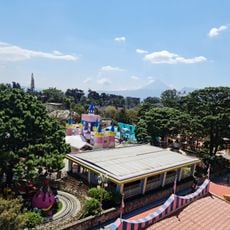
IRTRA Mundo Petapa
22 km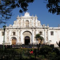
Antigua Guatemala Cathedral
24 km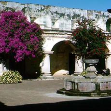
Church and Convent of Capuchins
24.4 km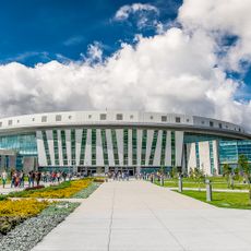
Casa de Dios
19.2 km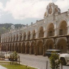
Palacio de los Capitanes Generales
24 km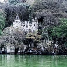
Castillo de Dorión
11.1 km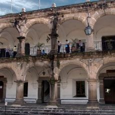
Ayuntamiento of Antigua Guatemala
24.1 km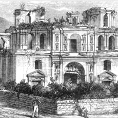
Church and Convent of Society of Jesus
24.3 km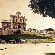
Iglesia del Calvario
22.1 km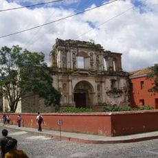
College of the Company of Jesus
24.3 km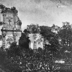
Candelaria Parrish
24.3 km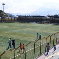
Estadio Municipal de San Miguel Petapa
14 km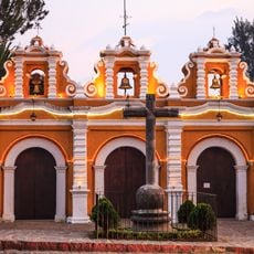
El Calvario Church
22.8 km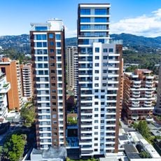
Torres ECHO
23.2 km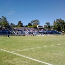
Estadio Revolución Ciudad de Guatemala
23.3 km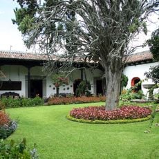
Casa Popenoe
23.8 km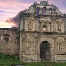
Ermita de Santa Isabel de Hungría
22.7 km
Santa Isabel
19.3 km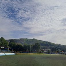
Estadio Municipal de Bárcena
17.9 km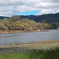
Laguna El Pino
22.4 km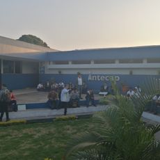
Intecap Escuintla 1
22.6 km
Finca el barretal
7.2 km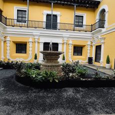
Royal Palace of the Captains General
24 km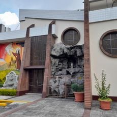
Iglesia Santa Elisa
23.1 km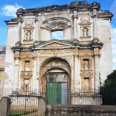
Templo Santa Teresa De Jesus
24.4 km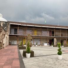
MUNAG - Museo Nacional de Arte de Guatemala
24 km
Lantana Tower
22.7 kmReviews
Visited this place? Tap the stars to rate it and share your experience / photos with the community! Try now! You can cancel it anytime.
Discover hidden gems everywhere you go!
From secret cafés to breathtaking viewpoints, skip the crowded tourist spots and find places that match your style. Our app makes it easy with voice search, smart filtering, route optimization, and insider tips from travelers worldwide. Download now for the complete mobile experience.

A unique approach to discovering new places❞
— Le Figaro
All the places worth exploring❞
— France Info
A tailor-made excursion in just a few clicks❞
— 20 Minutes