Volcán de Agua

Log in to your account

AroundUs is a community-driven map of interesting places, built by curious explorers like you. It grows with every review, story, and photo you share.
Connect to save your favorite spots, contribute locations, and create personalized routes.
By continuing, you accept our Terms and Conditions and our Privacy Policy

Volcán de Agua

Add to collection
Map
Suggest a change
Share

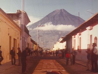
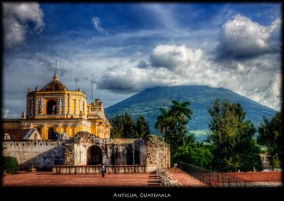
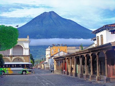
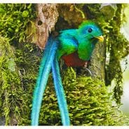
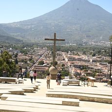
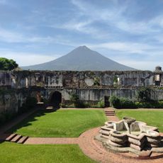
Volcán de Agua, Stratovolcano in Sacatepéquez Department, Guatemala.

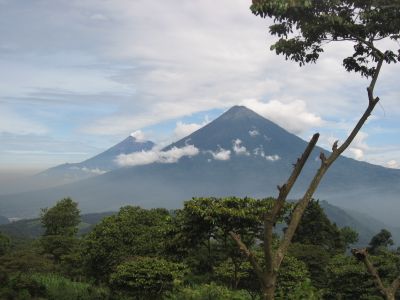
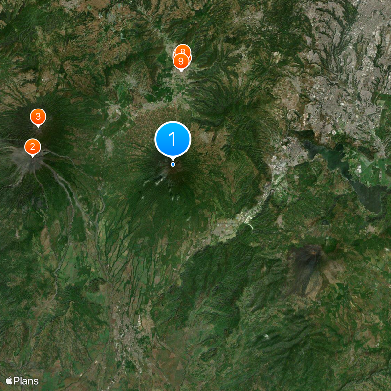
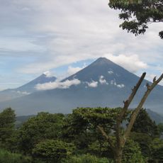
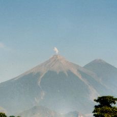
Volcán de Agua is a stratovolcano with a perfectly symmetrical cone in Sacatepéquez Department rising 3,760 meters (12,336 feet) above sea level. Dense cloud forest covers its lower slopes while the upper sections transition into open grassland with scattered rocks.

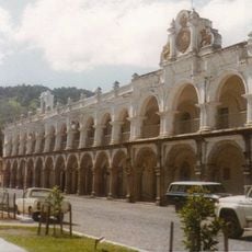
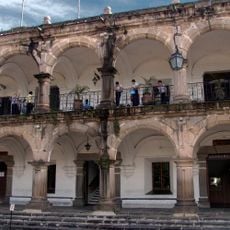
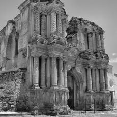
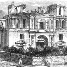
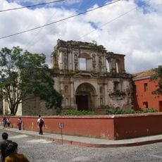
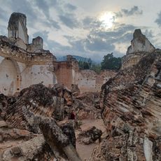
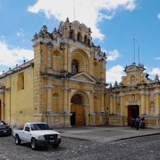
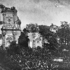
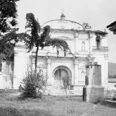
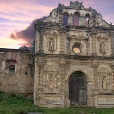
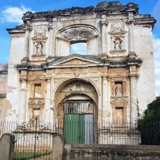
The mountain formed around 20,000 years ago through a sequence of eruptions that ended after an early phase of volcanic activity. In September 1541, an earthquake triggered a catastrophic mudflow and debris avalanche that destroyed Guatemala's first capital.

Indigenous K'iche' and Kaqchikel people traditionally call the mountain Hunahpú after an important figure from their sacred book. Many locals still regard the summit as a place of power and maintain spiritual practices there.

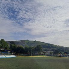
The ascent begins in Santa María de Jesús village and takes about four to five hours, requiring sturdy footwear and warm clothing for the summit. Tourism police often accompany hikers on upper sections, providing both security and route guidance.

Though the name means Water Volcano, no crater lake ever existed at the summit as many travelers assume. The name instead comes from the massive amounts of water that rushed down during the 1541 disaster, burying the colonial town.

Location: Sacatepéquez Department

Elevation above the sea: 3,760 m

GPS coordinates: 14.46633,-90.74176

Latest update: December 5, 2025 16:33

Photo spots in Guatemala

Guatemala offers photographers a mix of pre-Columbian sites, volcanic landscapes, and colonial buildings. The geography ranges from highland towns to rainforests and coastal areas along the Pacific and Caribbean. Ancient Maya temples stand alongside Spanish-era churches, while indigenous markets and traditional villages show cultural life. The landscape is marked by active and dormant volcanoes, often surrounded by coffee plantations. Places like Antigua Guatemala display colonial architecture with cobblestone streets and courtyards. Lake Atitlán sits between mountains and smaller communities. Tikal and other archaeological sites in the north preserve Maya structures within jungle settings. Chichicastenango Market is known for woven textiles and incense. Pacaya and Acatenango are accessible volcanoes, while Semuc Champey offers natural pools in a limestone forest. The variety of regions makes Guatemala a country with different perspectives in short distances.

Reviews

Visited this place? Tap the stars to rate it and share your experience / photos with the community! Try now! You can cancel it anytime.

« Volcán de Agua - Stratovolcano in Sacatepéquez Department, Guatemala » is provided by Around Us (aroundus.com). Images and texts are derived from Wikimedia project under a Creative Commons license. You are allowed to copy, distribute, and modify copies of this page, under the conditions set by the license, as long as this note is clearly visible.

Discover hidden gems everywhere you go!

From secret cafés to breathtaking viewpoints, skip the crowded tourist spots and find places that match your style. Our app makes it easy with voice search, smart filtering, route optimization, and insider tips from travelers worldwide. Download now for the complete mobile experience.

Around Us App Screenshot

A unique approach to discovering new places

Le Figaro

All the places worth exploring

France Info

A tailor-made excursion in just a few clicks

20 Minutes