Alta Verapaz Department, Administrative department in north central Guatemala.
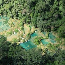
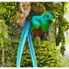
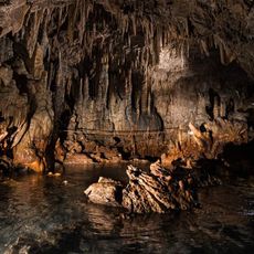
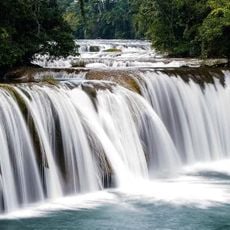
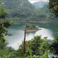
Alta Verapaz extends across varied terrain that rises from lowlands at around 300 meters to highlands reaching roughly 3,000 meters, creating a landscape that shifts dramatically across short distances. The changes in elevation give different parts of the region their own distinct environment and character.
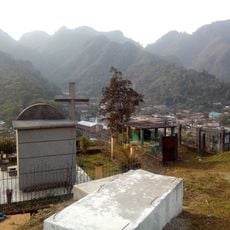
In the 16th century, Spanish Dominican friars led by Bartolomé de las Casas conducted a peaceful conversion of the region and changed its name from Tezulutlan to what it is today. This peaceful approach to religious change set it apart from the more violent conquest occurring elsewhere in the territory.
The people here speak Q'eqchi', Poqomchi', and Achi languages daily alongside Spanish, reflecting the strong indigenous presence that shapes daily life across the region's communities.
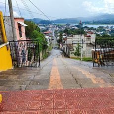
The differences in elevation mean that weather and road conditions vary significantly depending on where you travel within the region. Roads in higher areas can become challenging to navigate during heavy rain, so planning around the rainy season is worth considering.
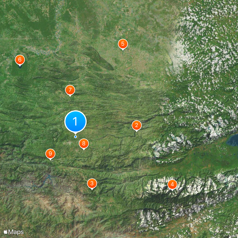
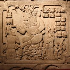
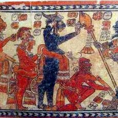
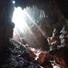
The region holds roughly 64 pre-Hispanic archaeological sites scattered across its landscape, offering glimpses into ancient cultures that once thrived here. What many visitors notice is the constant fine mist that locals call chipi chipi, which hangs over the land and shapes the visual experience of the place.
The community of curious travelers
AroundUs brings together thousands of curated places, local tips, and hidden gems, enriched daily by 60,000 contributors worldwide.