
El Negrito, human settlement in Honduras
Location: Yoro Department
Elevation above the sea: 209 m
GPS coordinates: 15.31667,-87.70000
Latest update: March 6, 2025 18:10
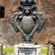
Fortaleza de San Fernando
63.1 km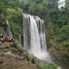
Pulhapanzak
45.9 km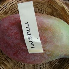
Lancetilla Botanical Garden
53.9 km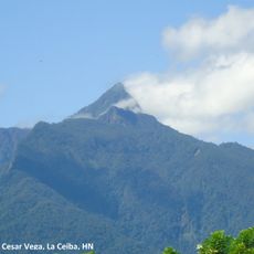
Pico Bonito National Park
94.6 km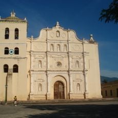
Immaculate Conception Cathedral, Comayagua
95.6 km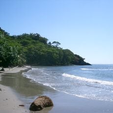
Jeanette Kawas National Park
59.5 km
Refugio de vida silvestre Cuero y Salado
79.4 km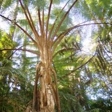
Cusuco National Park
65.5 km
Estadio General Francisco Morazán
41.6 km
Cerro Azul Meámbar National Park
57.3 km
Los Naranjos
54.3 km
San Pedro Sula Cathedral barby
40.6 km
Punta Izopo Wildlife Refuge
65 km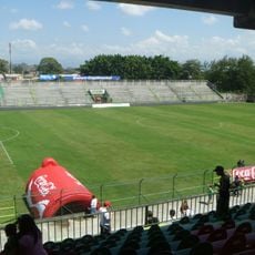
Estadio Yankel Rosenthal Cuello
37.8 km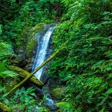
Montaña de Comayagua National Park
93.7 km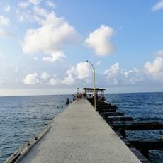
Muelle de Tela
57.9 km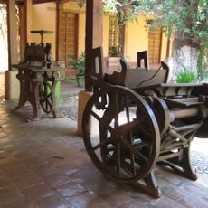
Museum of Comayagua
95.4 km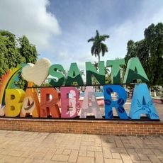
Santa Bárbara Central Park
72.7 km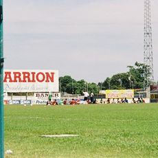
Estadio Excélsior
64.3 km
Área de Uso Múltiple Lago de Yojoa
61.7 km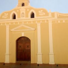
Museo Colonial de Arte Religioso
95.6 km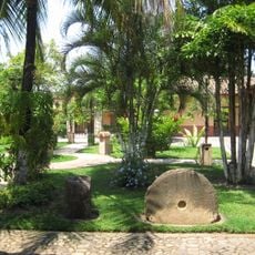
Museo Histórico y Cívico Casa Cabañas
95.6 km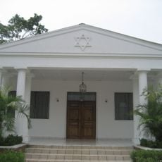
Maguen David Synagogue
41.7 km
USCGC Walnut
62 km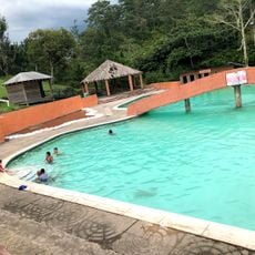
Joya Grande
40.7 km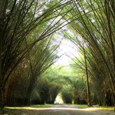
Jardín Botánico Lancetilla
53.5 km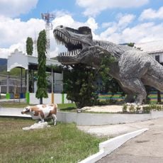
The Little Sula Children's Museum
40.2 km
Coto river
62.4 kmReviews
Visited this place? Tap the stars to rate it and share your experience / photos with the community! Try now! You can cancel it anytime.
Discover hidden gems everywhere you go!
From secret cafés to breathtaking viewpoints, skip the crowded tourist spots and find places that match your style. Our app makes it easy with voice search, smart filtering, route optimization, and insider tips from travelers worldwide. Download now for the complete mobile experience.

A unique approach to discovering new places❞
— Le Figaro
All the places worth exploring❞
— France Info
A tailor-made excursion in just a few clicks❞
— 20 Minutes