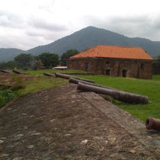
Pico Bonito National Park, National park in La Ceiba, Honduras
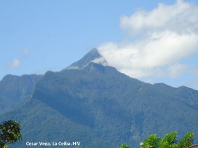
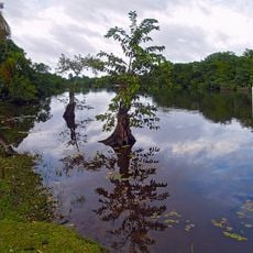
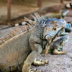
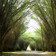
Pico Bonito is a national park near La Ceiba in Honduras, stretching from sea level to mountain peaks over 2,400 meters (7,900 feet) high. The protected area covers more than 100,000 hectares and includes dense tropical rainforest, steep gorges, and mountain streams flowing down to the Caribbean coast.
The Honduran government established the protected area in August 1987 to preserve the region's water sources and biodiversity. It became the second largest national park in the country and has relied on local support to maintain forest conservation.
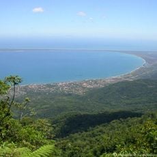
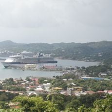
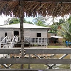
The name Pico Bonito comes from its highest peak, which rises above the rainforest and can be seen from the coast. Local communities use the rivers flowing from the park for drinking water and traditional farming in the surrounding lowlands.
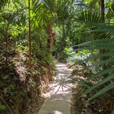
The visitor center near the Cangrejal River provides access to the lower trails and organizes guided tours through the lowland rainforest. The best time to visit is during the dry season from February to May, when trails are less muddy and rivers are easier to cross.
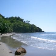
Forty-six rivers begin in the mountains of the park and flow down to the Caribbean coast, including the Cangrejal with its strong currents for whitewater rafting. Many waterfalls deep inside the park remain difficult to reach and are visited only by experienced hikers.
The community of curious travelers
AroundUs brings together thousands of curated places, local tips, and hidden gems, enriched daily by 60,000 contributors worldwide.