Enable Location

We need your location to show you interesting places around you

Discover nearby places

Find interesting locations and hidden gems around you

Precise directions

Get accurate directions and distances to places

Your location is never shared with other users. It's only used when you tap the location button.

Parque Nacional Marino Islas de la Bahía

Log in to your account

Start exploring — it's free

Trusted by 62,070 travelers worldwide

Continue with Google
Continue with Apple
or

We will send you a code to connect

By continuing, you accept our Terms and Conditions and our Privacy Policy

Check your inbox

We've sent a pincode in your inbox. Please enter the code below.

Parque Nacional Marino Islas de la Bahía

Parque Nacional Marino Islas de la Bahía, Marine national park in Bay Islands, Honduras

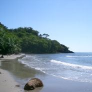
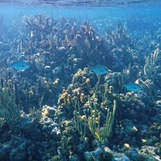
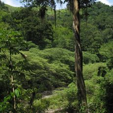
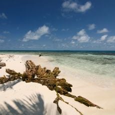
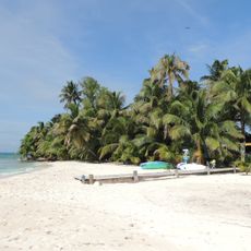
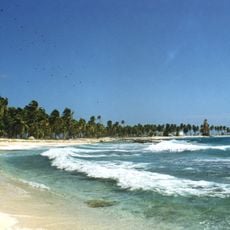
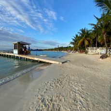
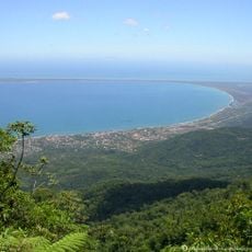
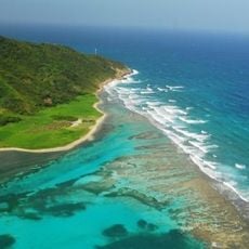
This marine protected area surrounds four islands and contains coral reefs, seagrass beds, mangrove forests, and sandy beaches. The zone extends from shallow coastal waters down to deeper offshore areas.

The park gained official protection status in 2010 when Honduras' National Congress issued a decree. This action aimed to preserve the region's marine resources for the future.

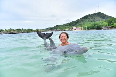
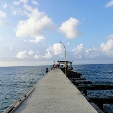
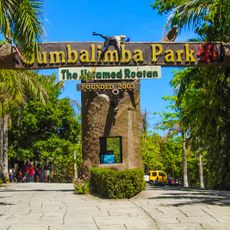
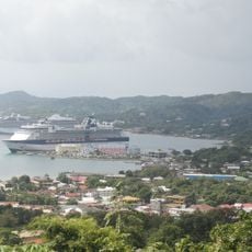
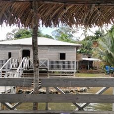
Island residents have long depended on fishing and tourism within these waters as their main livelihood. Their daily relationship with the sea remains central to how they live and work.

Different zones have varying water conditions and accessibility: shallow coastal areas are easier to explore, while deeper zones require more experience or special arrangements. Visiting outside hurricane season offers safer conditions for water activities.

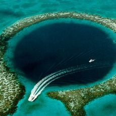
The area forms part of the Mesoamerican Reef, the world's second largest coral reef system after Australia's Great Barrier Reef. This underwater formation stretches across hundreds of kilometers and holds remarkable biodiversity.

The community of curious travelers

AroundUs brings together thousands of curated places, local tips, and hidden gems, enriched daily by 60,000 contributors worldwide.

Start exploring
Location
Address
8FPF+QH2, Coxen Hole, Bay Islands, Honduras
GPS coordinates
16.33689,-86.52612
Latest update
December 6, 2025 19:09
Honduras: national parks, Copán ruins, Caribbean islands

Honduras holds a range of natural sites and archaeological locations along its Caribbean coastline and mountainous interior. The Copán ruins stand among the most important remnants of the Mayan civilization, displaying intricate stonework and the Hieroglyphic Stairway. Several islands in the Bay...

« Parque Nacional Marino Islas de la Bahía - Marine national park in Bay Islands, Honduras » is provided by Around Us (aroundus.com). Images and texts are derived from Wikimedia project under a Creative Commons license. You are allowed to copy, distribute, and modify copies of this page, under the conditions set by the license, as long as this note is clearly visible.

Discover hidden gems everywhere you go!

From secret cafés to breathtaking viewpoints, skip the crowded tourist spots and find places that match your style. Our app makes it easy with voice search, smart filtering, route optimization, and insider tips from travelers worldwide. Download now for the complete mobile experience.

Around Us App Screenshot

A unique approach to discovering new places

Le Figaro

All the places worth exploring

France Info

A tailor-made excursion in just a few clicks

20 Minutes

Around Us
Travel Guide & Maps
Download

Send to your phone

QR Code
1

Open the camera app on your mobile.

2

Point at the QR code with your camera. A notification will appear.

3

Tap the notification to open the link.