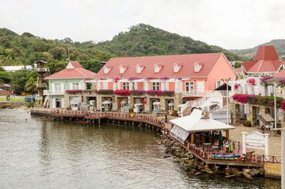
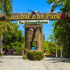
Coxen Hole, human settlement in Honduras
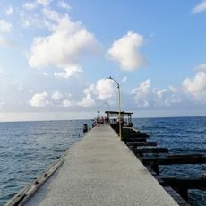
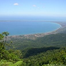
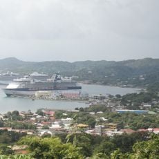
Coxen Hole is the largest city on the island of Roatan in Honduras and serves as the main port for the region. Colorful buildings line the streets alongside small shops and markets that reflect the daily life of the island community.
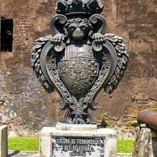
Roatan has a long history of changing hands between English and Spanish rulers over centuries. Today, the local people speak a version of Creole English, which reflects the island's diverse past.
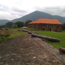
The town's name comes from John Coxen, a privateer who sailed the Caribbean centuries ago. Local residents enjoy sharing stories about this colorful past, which adds a sense of adventure to walking through the streets today.
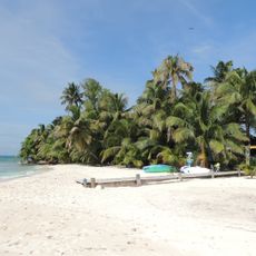
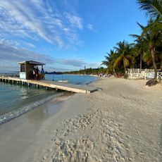
The best time to visit is during the dry season from February to May when it is sunny and waters are calm. Stay alert in busy areas, carry small cash bills for shopping, and agree on taxi prices before getting in.
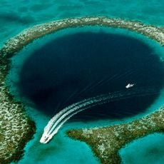
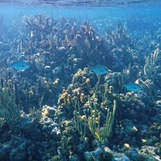
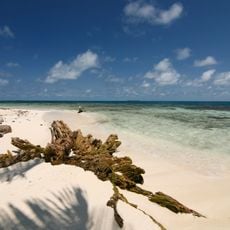
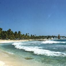
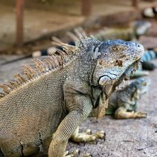
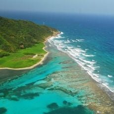
The port serves as a gateway for diving trips to the Roatan Marine Park, which protects one of the world's best coral reef systems. Visitors can easily arrange local boat trips from here to explore warm waters filled with tropical fish and sea turtles.
The community of curious travelers
AroundUs brings together thousands of curated places, local tips, and hidden gems, enriched daily by 60,000 contributors worldwide.