Sierra de Agalta National Park, National park in Olancho Department, Honduras.
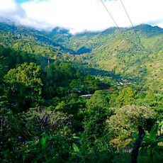
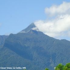
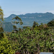
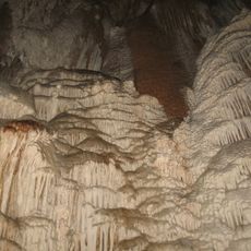
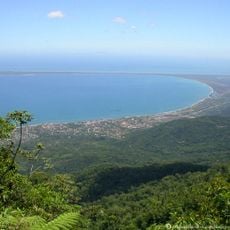
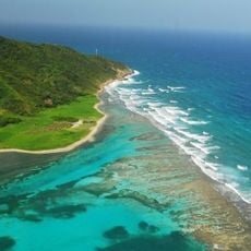
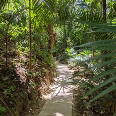
Sierra de Agalta National Park is a mountainous region in Honduras covered by tropical forests with steep slopes and river valleys. The landscape includes cave systems, rocky outcrops, and multiple water sources that flow through dense vegetation.
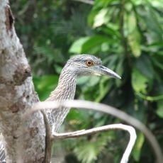
The protected area was officially established in 1987 to preserve the forests and wildlife habitats in this mountain region. This decision helped secure one of Central America's remaining large forest areas.
The park's name comes from the Sierra de Agalta range in Olancho Department, 180 km northeast of Tegucigalpa. Since its creation in 1987, the protected area has been used for biological research and ecotourism, and in 2011 it was enlarged to 738.29 km², with a core zone of 315 km² and a buffer zone of 423.28 km².
The best time to visit is during the dry season when trails are passable and water levels are lower. Visitors should go with a local guide, wear sturdy footwear, and bring plenty of water and supplies.
The park holds about 400 km² of original forest, described in Honduran sources as the country's largest cloud forest remnant. It was created in 1987 at roughly 207 km² and enlarged in 2011 to 738.29 km², with a 315 km² core zone and a 423.28 km² buffer zone.
The community of curious travelers
AroundUs brings together thousands of curated places, local tips, and hidden gems, enriched daily by 94,768 contributors worldwide.