Coclé Province, Province in central Panama
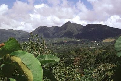
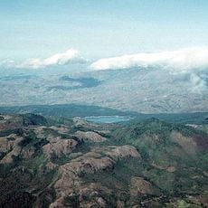
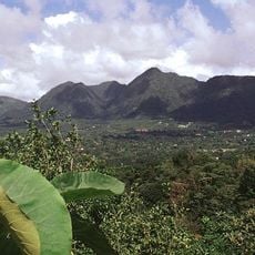
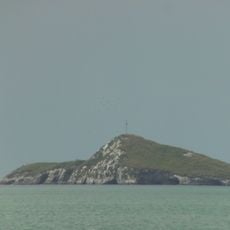
Coclé is a province along the Pacific coast of Panama between mountain ranges and agricultural lands, encompassing the extinct volcanic crater of El Valle de Antón. The region stretches over wide coastal sections with sandy beaches and rises inland into forested hills where small villages are scattered throughout.
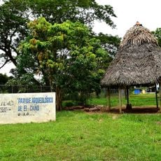
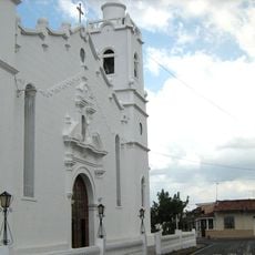
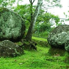
Archaeological findings at El Caño uncover extensive burial grounds of pre-Columbian civilizations that inhabited the region between 700 and 1000 AD. Spanish colonizers later established settlements along the coast and used the fertile land for cultivating sugarcane and other crops.
The town of La Pintada keeps old craft traditions alive through the production of sombrero pintao hats, woven from naturally dyed fibers of the Chisná plant. These braided hats often carry geometric patterns in black and white, passed down through generations of local artisans.
The beaches of Santa Clara, Farallón and Río Hato can be reached via the Pan-American Highway running along the coast, which is well maintained and easy to drive. Those heading inland toward the volcanic crater will find narrow mountain roads with switchbacks that can become slippery during rain.
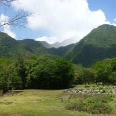
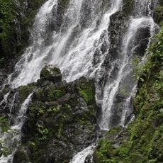
The Omar Torrijos Herrera National Park covers extensive protected areas where all native feline species of Panama can be found. Hikers occasionally report nighttime calls and tracks in the undergrowth that suggest the presence of pumas or ocelots.
The community of curious travelers
AroundUs brings together thousands of curated places, local tips, and hidden gems, enriched daily by 60,000 contributors worldwide.