Junín, Administrative division in Cundinamarca, Colombia.
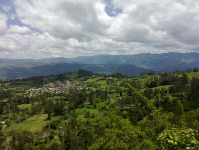
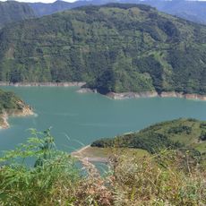
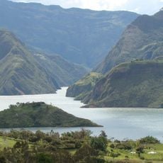
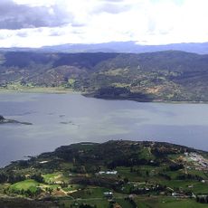
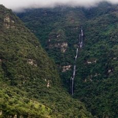
Junín is a municipality in Cundinamarca that covers roughly 337 square kilometers at an elevation of about 2,300 meters. The territory sits in the eastern section of the Altiplano Cundiboyacense, a significant geographic region.
Before Spanish colonization beginning in 1550, the territory was known as Chipazaque and served as shared land between indigenous leaders zipa of Bacatá and zaque of Hunza. The Spanish arrival brought it into a colonial structure.
The name dates back to 1861 and references the green valleys that resemble those in Pampa de Junín, Peru. This connection shaped how people thought about this territory as a fertile place.
The area's economy relies mainly on agriculture and livestock farming. Visitors should expect rural conditions and a thinly settled landscape across the territory.
The territory borders six neighboring municipalities: Gachetá, Guatavita, Gama, Gachalá, Fómeque, and La Calera. This boundary pattern creates a tight network of relationships within the region.
The community of curious travelers
AroundUs brings together thousands of curated places, local tips, and hidden gems, enriched daily by 60,000 contributors worldwide.