Panama Canal, Maritime waterway in Panama
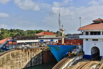
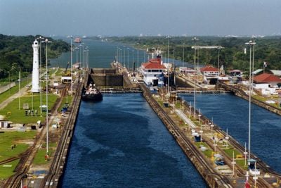
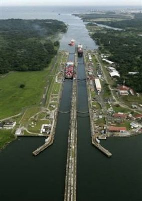
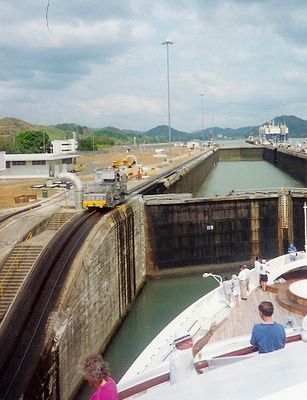
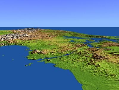
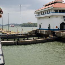
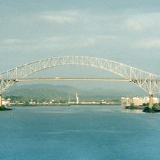
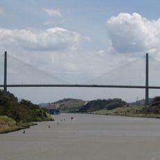
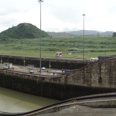
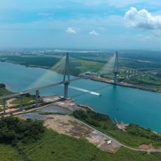
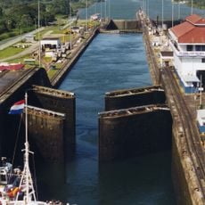
The Panama Canal is a maritime passage connecting the Atlantic and Pacific Oceans across 82 kilometers through a system of locks and artificial lakes. The crossing takes ships through three main lock chambers that raise and lower water levels step by step, while locomotives along the chamber walls control the movement of cargo vessels.
A French company began work in 1881 but had to abandon the project due to technical challenges and disease. The United States took over in 1904 and finished the work in 1914, after Panama gained independence from Colombia.
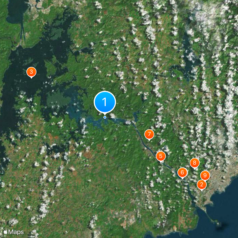
Ships from around the world pass through here, and local families regularly visit the viewing platforms to watch large freighters cross. These visits have become a kind of local ritual, where people gather to witness a technical spectacle that shapes daily life across the country.
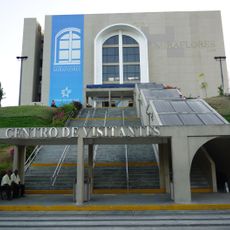
Visitors can watch ships pass through from viewing terraces located at several points along the route. The visitor center at Miraflores offers exhibitions and dining areas where you can follow the action directly from the waterside.
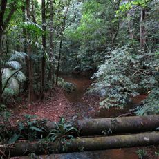
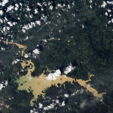
The water that fills and empties the locks comes entirely from rainfall collected in the Gatun Lake watershed. Each ship passage uses around 200 million liters of freshwater, which then flows out to sea.
Location: Panamá Province
Location: Panamá Oeste Province
Location: Colón Province
Official opening: August 15, 1914
Elevation above the sea: 26 m
Part of: Seven Wonders of the Modern World
Address: XCM5+FPR, Cocolí, Panamá Oeste Province, Panama
GPS coordinates: 9.12000,-79.75000
Latest update: December 14, 2025 23:49
Panama City combines Spanish colonial architecture with modern urban design. Visitors can explore the 16th-century ruins at Panama Viejo, walk through the historic streets of Casco Viejo, and discover tropical forests at Metropolitan National Park. The city features waterfront boulevards, cultural...
Panama Canal locks
18.9 km
Gatun Lake
18.7 km
Bridge of the Americas
28.3 km
Miraflores Locks Visitors Center
22.2 km
Centennial Bridge, Panama
16.1 km
Miraflores
22.1 km
Atlantic Bridge
28.2 km
Soberanía National Park
11.1 km
Fort Clayton
23.2 km
Summit Municipal Park
12.9 km
Camino de Cruces National Park
19.8 km
Lake Alajuela
23 kmFort Randolph
33.1 km
Panamá City Panamá Temple
24.4 km
Immaculate Conception Cathedral, Colón
31.7 km
Atlantic Entrance Range Middle Lighthouse
25.9 km
Gatún Northbound Rear Lighthouse
25.5 kmPacific Entrance Range Rear Light
24.1 kmPacific Entrance Range Front Light
26.5 km
Pipeline Road
3.9 km
Casa Wilcox
31.3 km
Estatua Cristóbal Colón
32 km
Estadio Roberto Mariano Bula
30.8 km
Parque Sucre
31.3 km
Iglesia de la Medalla Milagrosa
31.7 km
Edificio Multifamiliar Las Cuatro Potencias: Chagres, Donoso, Santa Isabel y Portobelo
30.8 km
Edificio Riviera (Colón)
31.8 km
Gatun Locks
25.5 kmVisited this place? Tap the stars to rate it and share your experience / photos with the community! Try now! You can cancel it anytime.
Discover hidden gems everywhere you go!
From secret cafés to breathtaking viewpoints, skip the crowded tourist spots and find places that match your style. Our app makes it easy with voice search, smart filtering, route optimization, and insider tips from travelers worldwide. Download now for the complete mobile experience.
A unique approach to discovering new places❞
— Le Figaro
All the places worth exploring❞
— France Info
A tailor-made excursion in just a few clicks❞
— 20 Minutes