
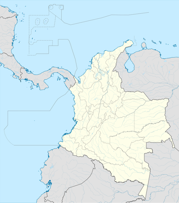
Guamal, Colombian municipality of the department of Magdalena
Location: Magdalena Department
Inception: 1747
Elevation above the sea: 25 m
Website: http://guamal-magdalena.gov.co
GPS coordinates: 9.14417,-74.22361
Latest update: March 24, 2025 21:44
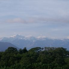
Sierra Nevada de Santa Marta National Park
199.6 km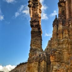
Los Estoraques Unique Natural Area
152.9 km
Los Colorados Fauna and Flora Sanctuary
131.9 km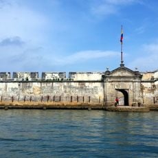
Castle of San Luis de Bocachica
198.2 km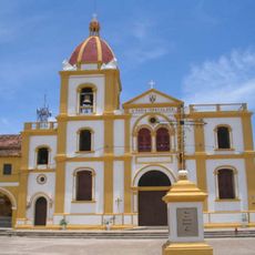
Historic Centre of Santa Cruz de Mompox
24.4 km
Margarita Island
31.1 km
Provincia de Ocaña
139.7 km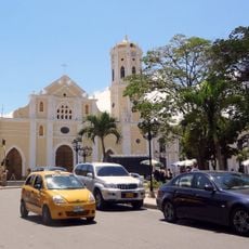
St. Anne's Cathedral, Ocaña
139.3 km
Columna de la Libertad de los Esclavos
139.3 km
Complejo Histórico de la Gran Convención
139.4 km
Loa de los Santos Reyes Magos
198.3 km
Cerro Pintado
196.3 km
St. Francis of Assisi Cathedral, Sincelejo
129.9 km
San Basilio de Palenque
151.2 km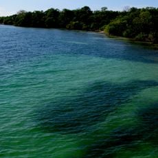
Rosario and San Bernardo Corals National Natural Park
195.6 km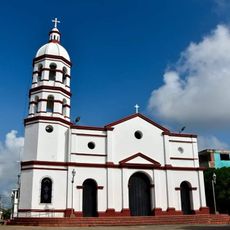
Cathedral of Our Lady of Candelaria, El Banco
32.6 km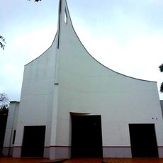
Iglesia de la Sagrada Familia de Caucasia
167.3 km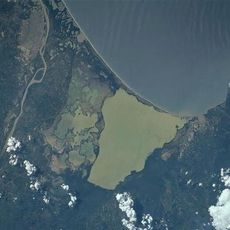
Ciénaga Grande de Santa Marta
192.9 km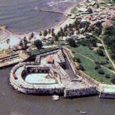
Château de San Fernando de Bocachica
198.2 km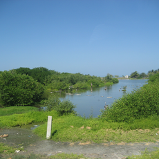
Salamanca Island Road Park
200.7 km
Parque Cultural del Caribe
163.2 km
Museum of Poet Julio Florez
196.8 km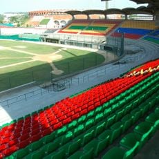
Estadio Once de Noviembre
197.8 km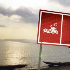
Embalse del Guájaro
175.9 km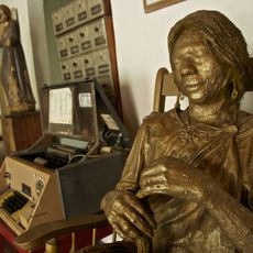
Casa del Telegrafista
161.5 km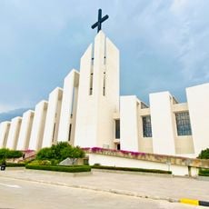
Cathedral of Ecce Homo, Valledupar
181.8 km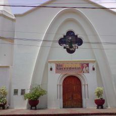
Former Cathedral of Our Lady of the Rosary, Valledupar
183.3 km
Palenquito
30.8 kmReviews
Visited this place? Tap the stars to rate it and share your experience / photos with the community! Try now! You can cancel it anytime.
Discover hidden gems everywhere you go!
From secret cafés to breathtaking viewpoints, skip the crowded tourist spots and find places that match your style. Our app makes it easy with voice search, smart filtering, route optimization, and insider tips from travelers worldwide. Download now for the complete mobile experience.

A unique approach to discovering new places❞
— Le Figaro
All the places worth exploring❞
— France Info
A tailor-made excursion in just a few clicks❞
— 20 Minutes