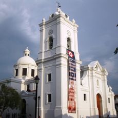
Sierra Nevada de Santa Marta National Park, Mountain national park in northern Colombia.
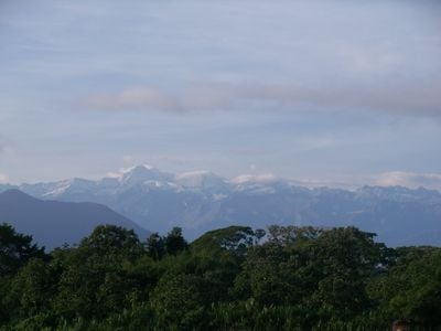
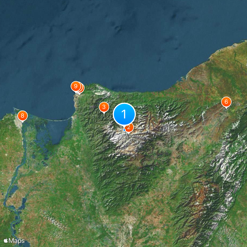
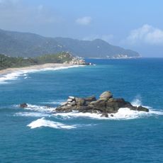
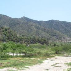
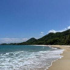
Sierra Nevada de Santa Marta National Park is a protected area in the departments of Magdalena, Cesar, and La Guajira in northern Colombia, covering the highest coastal mountain range in the Americas. The landscape ranges from Caribbean beaches through tropical lowland forests and cloud forests to snow-capped peaks reaching over 5,700 meters (18,700 feet).
The Colombian government established this protected area in 1964 to preserve the mountain range and its ecosystems from growing pressure by agriculture and logging. The indigenous communities, who have lived in these mountains for thousands of years, later gained voice in managing certain zones within park boundaries.
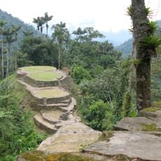
The four indigenous peoples view these mountains as sacred territory and manage their areas according to spiritual principles that establish close connections between natural phenomena and cosmic order. Visitors can see traditional settlements where round huts are built from reeds and timber, while terraced fields grow coffee and maize.
Visitors should arrange tours through licensed operators, as many areas are accessible only with local guidance and require permits. Temperatures vary greatly with elevation, so clothing for different climate zones is necessary, from warm coastal conditions to cold high-altitude environments.
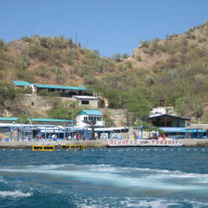
The peaks of these mountains are clearly visible from the coast on clear days, creating a rare visual effect where snow-capped heights appear to float above warm Caribbean waters. The exceptional elevation span over short distance allows climbing from sea shore to montane forest zones within a single day, passing through multiple climate zones.
The community of curious travelers
AroundUs brings together thousands of curated places, local tips, and hidden gems, enriched daily by 60,000 contributors worldwide.