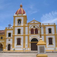
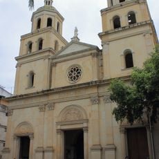
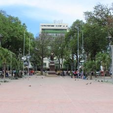
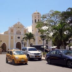
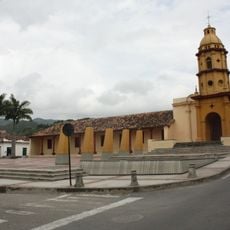
Cesar Department, Administrative department in northern Colombia.
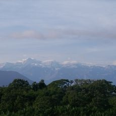
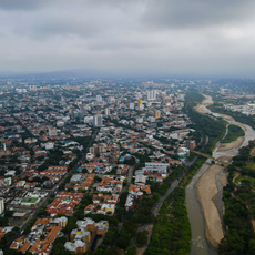
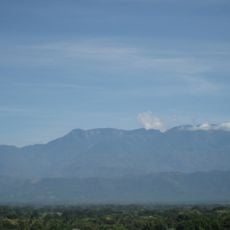
Cesar is an administrative department in northern Colombia situated between the Sierra Nevada de Santa Marta mountains and the Magdalena River valley. The landscape features river valleys interspersed with plateaus and plains that define the regional geography.
Spanish exploration started in 1532 when German commander Ambrosio Alfinger led military expeditions through the territories of the Euparis and Guatapuris peoples. These early encounters shaped the region's trajectory over the centuries.
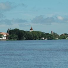
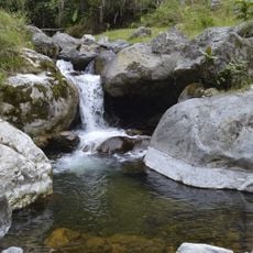
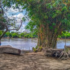
The name comes from the Chimila indigenous word Chet-tzar, meaning calm water, and reflects the presence of the Cesar River that shapes the landscape and local life.
The region supports agriculture with cotton, rice, and corn cultivation, plus extensive cattle ranching that shapes daily life across the area. Travelers will find active farming communities and pastoral landscapes throughout.
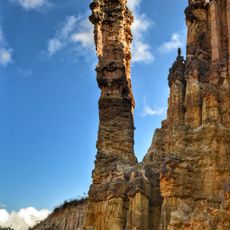
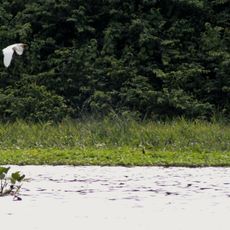
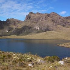
The Sierra Nevada de Santa Marta mountain range contains multiple rivers and water systems protected as a UNESCO Biosphere Reserve since 1993. This mountainous area holds one of South America's most diverse ecosystems.
Location: Colombia
Inception: December 1967
Capital city: Valledupar
Elevation above the sea: 50 m
Shares border with: La Guajira Department, Magdalena Department, Bolívar Department, Santander Department, Norte de Santander Department, Zulia
Website: http://gobcesar.gov.co
GPS coordinates: 9.23333,-73.51667
Latest update: December 14, 2025 20:27
Sierra Nevada de Santa Marta National Park
183.1 km
Los Estoraques Unique Natural Area
117.2 km
Cúcuta metropolitan area
172 km
Ciénagas de Juan Manuel National Park
135.3 km
Catatumbo Barí National Natural Park
45.8 km
Historic Centre of Santa Cruz de Mompox
99.6 km
Cathedral of Cúcuta
186.9 km
Margarita Island
109.3 km
Provincia de Ocaña
112.8 km
Santander Park
186.8 km
St. Anne's Cathedral, Ocaña
112.6 km
Columna de la Libertad de los Esclavos
112.5 km
Complejo Histórico de la Gran Convención
112.9 km
Santurbán-Salazar de las Palmas Regional Park
180.9 km
Edificio Santander, Cúcuta
186.7 km
Cerro Pintado
139.9 km
Parque Natural Regional Santurbán-Arboledas
186.4 km
Cathedral of Our Lady of Candelaria, El Banco
56.5 km
Puente Atalaya, Cúcuta
184 kmCaño Puente de Tubo
119.2 km
Parque Cultural del Caribe
183.4 kmCesar-Ranchería Basin
138.6 km
Casa del Telegrafista
168.7 km
Servicio Nacional de Aprendizaje, Atalaya
183.5 km
Cathedral of Ecce Homo, Valledupar
140.7 km
Former Cathedral of Our Lady of the Rosary, Valledupar
141.8 km
Church of the Nativity of Our Lady, Cúcuta
182.2 km
Palenquito
107.1 kmVisited this place? Tap the stars to rate it and share your experience / photos with the community! Try now! You can cancel it anytime.
Discover hidden gems everywhere you go!
From secret cafés to breathtaking viewpoints, skip the crowded tourist spots and find places that match your style. Our app makes it easy with voice search, smart filtering, route optimization, and insider tips from travelers worldwide. Download now for the complete mobile experience.
A unique approach to discovering new places❞
— Le Figaro
All the places worth exploring❞
— France Info
A tailor-made excursion in just a few clicks❞
— 20 Minutes