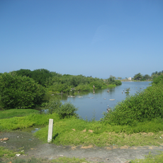
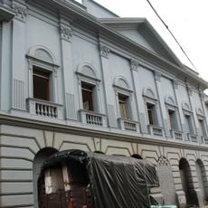
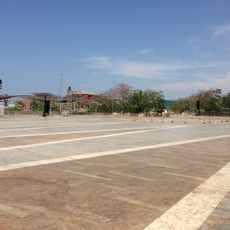
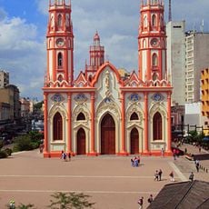
Cabo de la Aguja, Coastal cape on Caribbean Sea in Magdalena, Colombia
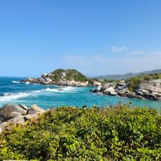
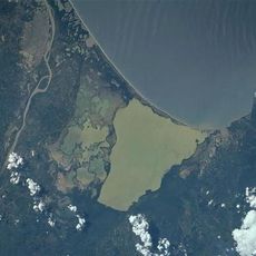
Cabo de la Aguja is a rocky point that extends into the Caribbean Sea, marking the boundary between Santa Marta Bay and the Guajira Peninsula. It forms a natural promontory along Colombia's northern coastline where the land juts into the water.
The cape lies in the Magdalena department between Santa Marta Bay to the west and the Guajira Peninsula to the east, at 11°18′N 74°12′W. Spanish navigators used this stretch of the Caribbean coast as a reference point when charting the route between the two bays.
The cape lies between Santa Marta Bay and the Guajira Peninsula, a stretch of Caribbean coast in Magdalena where the sea has long been a working ground. Its name, "Cape of the Needle," is the detail to look for: a pointed, needle-like headland rather than a broad point. Fishing communities along this coast orient themselves by such named capes.
The cape is most easily reached from Santa Marta city, which offers accommodations and local transport options for visitors. It is wise to check tide and weather conditions before going, as coastal conditions can change throughout the day.
The cape sits at 11°18′N 74°12′W, between the bay of Santa Marta to the west and the Guajira Peninsula to the east, in the department of Magdalena. That position on the open Caribbean marks where the Santa Marta coastline ends and the Guajira shore begins.
The community of curious travelers
AroundUs brings together thousands of curated places, local tips, and hidden gems, enriched daily by 95,268 contributors worldwide.