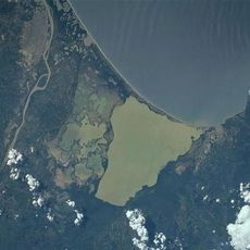
Tayrona National Natural Park, national park in Colombia
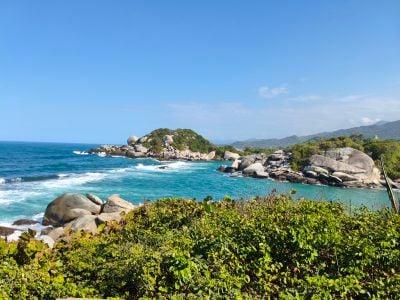
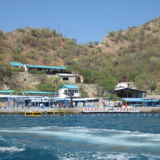
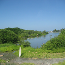
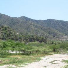
Tayrona National Natural Park is a protected area along Colombia's Caribbean coast that combines white sandy beaches, mountainous terrain, and dense forests. The land drops steeply into the sea, forming small coves, while steep slopes are covered with lush vegetation and tall trees.
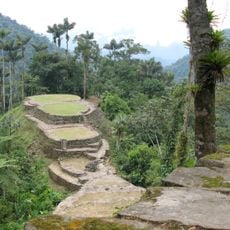
The park was established after 1964 to protect the land from development. The region was once home to the Tayrona civilization, whose archaeological sites with stone structures still tell stories of how ancient inhabitants lived and worked in this area.
The park is named after the Tayrona people who inhabited this region long before European arrival. Local communities today share their traditions and stories about the land and sea with visitors, keeping their cultural connection to this space alive.
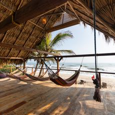
Visitors should bring comfortable lightweight clothing, sun protection, and plenty of water, as the tropical climate is hot and sunny year-round. The park has daily visitor limits and often requires advance reservations, so it is important to check current opening times and access information before traveling.
The park is home to the cotton-top tamarin, a small monkey that lives nowhere else in the wild and exists only in this region. This rare species makes the area special for wildlife watchers hoping to see these animals in their natural habitat.
The community of curious travelers
AroundUs brings together thousands of curated places, local tips, and hidden gems, enriched daily by 60,000 contributors worldwide.