Chest opened
+${chestReward.xp} XP
Explorer
NOUVEAU ×${chestReward.collectible.quantity}
tapez pour fermer
Chest locked

Open chests in the app

Around Us is built for your phone — chests unlock when you walk, explore and capture nearby places.

Enable Location

We need your location to show you interesting places around you

Discover nearby places

Find interesting locations and hidden gems around you

Precise directions

Get accurate directions and distances to places

Your location is never shared with other users. It's only used when you tap the location button.

Gulf of Venezuela

Log in to your account

Start exploring — it's free

Trusted by 72,876 travelers worldwide

Continue with Google
Continue with Apple
or

We will send you a code to connect

By continuing, you accept our Terms and Conditions and our Privacy Policy

Check your inbox

We've sent a pincode in your inbox. Please enter the code below.

Gulf of Venezuela
Discussion Reviews 1 Photos
54.4k Popularity

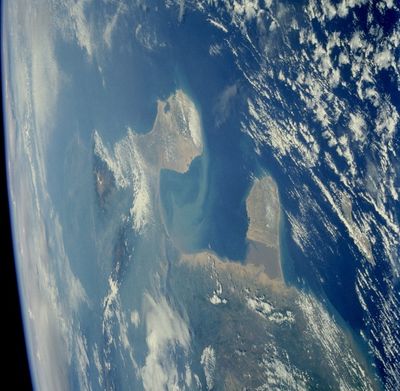
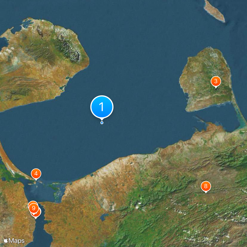
Gulf of Venezuela, Caribbean inlet between Guajira Peninsula and Paraguaná Peninsula, Venezuela and Colombia.

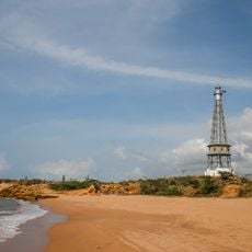
The Gulf of Venezuela sits between the Guajira Peninsula in Colombia and the Paraguaná Peninsula in Venezuela, covering roughly 6,500 square miles (17,000 square kilometers). This inlet connects the open Caribbean Sea to Lake Maracaibo through Tablazo Bay, forming a natural passage between two countries.

European sailors first reached these waters in 1499 when Alonso de Ojeda and Amerigo Vespucci explored the coast after sailing through the Netherlands Antilles. Their voyage marked the beginning of European mapping of this region and led to the establishment of several port towns along both shores later on.

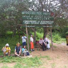
The maritime boundary delimitation in the Gulf remains a subject of diplomatic negotiations between Venezuela and Colombia, affecting regional relations and territorial claims.

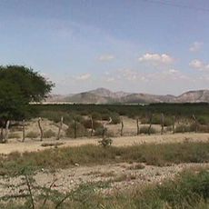
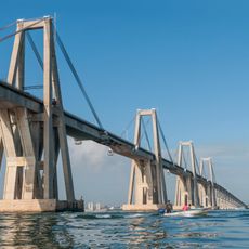
This body of water serves as a major shipping lane, especially for oil transport moving through a man-made canal from Lake Maracaibo to the open sea. Visitors can explore coastal sections on both sides, though the shores often experience windy conditions and strong currents.

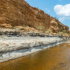
Several rivers including Motatán, Escalante, Chama and Catatumbo flow indirectly into the waters here through Lake Maracaibo, bringing fresh water from the Andes. This meeting of river and sea water creates shifting salinity levels and influences the life of many fish species in the region.

The community of curious travelers

AroundUs brings together thousands of curated places, local tips, and hidden gems, enriched daily by 60,000 contributors worldwide.

Start exploring
Part of
Caribbean Sea
GPS coordinates
11.50000,-71.00000
Latest update
December 14, 2025 17:34
Reviews
Share your experience

No review yet

Discussions
Start a discussion...

No discussion yet

« Gulf of Venezuela - Caribbean inlet between Guajira Peninsula and Paraguaná Peninsula, Venezuela and Colombia » is provided by Around Us (aroundus.com). Images and texts are derived from Wikimedia project under a Creative Commons license. You are allowed to copy, distribute, and modify copies of this page, under the conditions set by the license, as long as this note is clearly visible.

Discover hidden gems everywhere you go!

From secret cafés to breathtaking viewpoints, skip the crowded tourist spots and find places that match your style. Our app makes it easy with voice search, smart filtering, route optimization, and insider tips from travelers worldwide. Download now for the complete mobile experience.

Around Us App Screenshot

A unique approach to discovering new places

Le Figaro

All the places worth exploring

France Info

A tailor-made excursion in just a few clicks

20 Minutes

Around Us
Travel Guide & Maps
Download

Send to your phone

QR Code
1

Open the camera app on your mobile.

2

Point at the QR code with your camera. A notification will appear.

3

Tap the notification to open the link.