
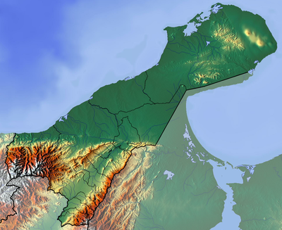
Serranía de Macuira, mountain in Colombia
Location: Uribia
Elevation above the sea: 864 m
GPS coordinates: 12.12919,-71.34072
Latest update: March 21, 2025 14:23
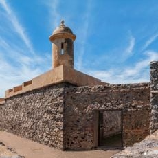
San Carlos de la Barra Fortress
130.5 km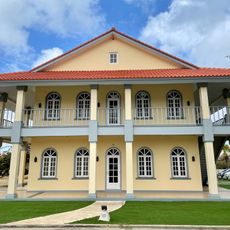
Arend Petroleum Company
147.1 km
Puerto Bolivar, Colombia
69.6 km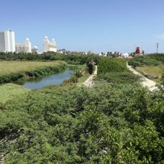
Bubali Bird Sanctuary
148.2 km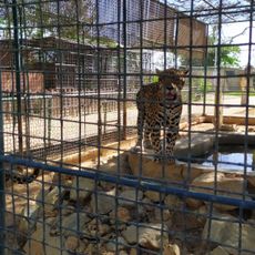
Paraguaná Zoo
132.9 km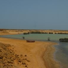
Bahía Portete – Kaurrele National Natural Park
75.4 km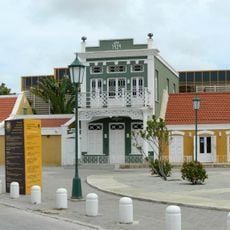
Museo Arqueologico Nacional Aruba
148.2 km
Censo / Ex Hotel Colombia
148.3 km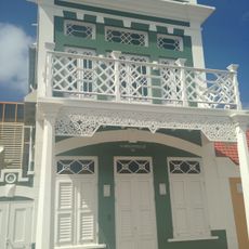
Het Groene Huis
148.2 km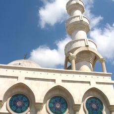
Mosque of Omar Ibn Al-Khattab
128.4 km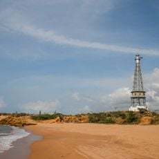
Punta Macolla Lighthouse
123.1 km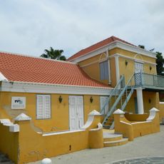
Stadskunukuhuis
148.2 km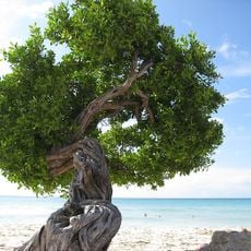
Eagle Beach
147.1 km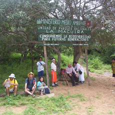
Macuira National Natural Park
1.4 km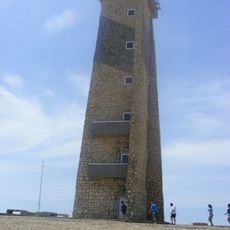
Cape San Román lighthouse
146.2 km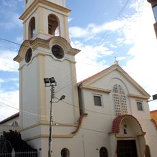
Cathedral of Our Lady of Coromoto
132.4 km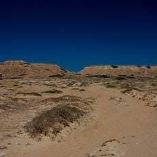
Castilletes Formation
20.3 km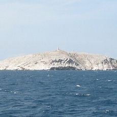
Phare de Monjes del Sur
60.2 km
Jimol Formation
18.6 km
Manchebo Beach
146.2 km
Geel huisje (Yellow house)
148 km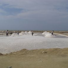
Salina de San Juan
143.3 km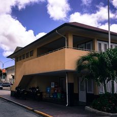
Former harbour office
148.2 km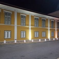
Ex landskantoor
148.3 km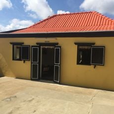
Cas Tan Tin
148 km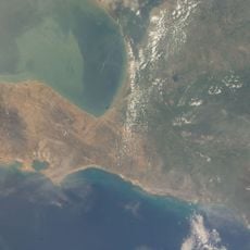
Salina de Umakaha
101 km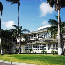
Government Offices
148.2 km
Ex Dow Office
147.9 kmReviews
Visited this place? Tap the stars to rate it and share your experience / photos with the community! Try now! You can cancel it anytime.
Discover hidden gems everywhere you go!
From secret cafés to breathtaking viewpoints, skip the crowded tourist spots and find places that match your style. Our app makes it easy with voice search, smart filtering, route optimization, and insider tips from travelers worldwide. Download now for the complete mobile experience.

A unique approach to discovering new places❞
— Le Figaro
All the places worth exploring❞
— France Info
A tailor-made excursion in just a few clicks❞
— 20 Minutes