
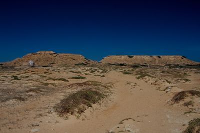
Castilletes Formation, geological formation in Colombia
Location: La Guajira Department
GPS coordinates: 11.94680,-71.33222
Latest update: March 7, 2025 23:15
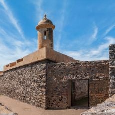
San Carlos de la Barra Fortress
111 km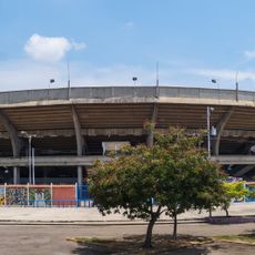
Plaza de toros Monumental de Maracaibo
143.4 km
Nazareth
26 km
Hospital Universitario de Maracaibo
145.4 km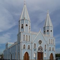
Church of St. Lucia
147.7 km
Médanos de Zapara
110.3 km
Puerto Bolivar, Colombia
77.2 km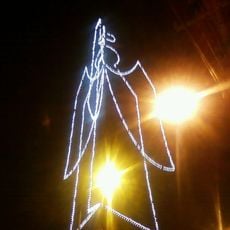
Ángel de Amparo
147.2 km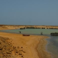
Bahía Portete – Kaurrele National Natural Park
78.6 km
Isla Los Pájaros
112.8 km
Cemetery El Cuadrado de Maracaibo
148.1 km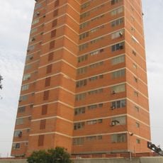
Edificio Padilla
148.1 km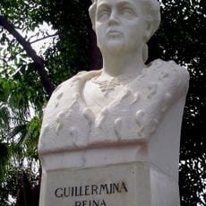
Bust of Queen Wilhelmina
146.6 km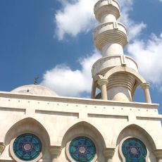
Mosque of Omar Ibn Al-Khattab
117 km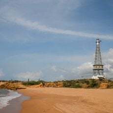
Punta Macolla Lighthouse
123.2 km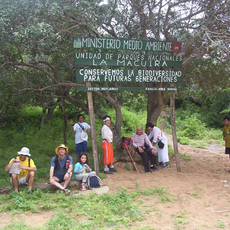
Macuira National Natural Park
21.4 km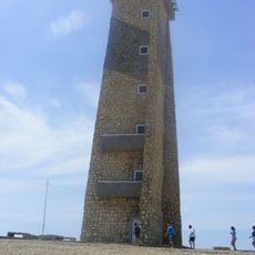
Cape San Román lighthouse
147.7 km
Serranía de Macuira
20.3 km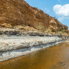
Urumaco Formation
144.4 km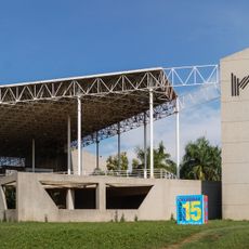
Zulian Museum of Contemporary Art
145.1 km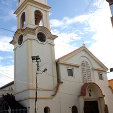
Cathedral of Our Lady of Coromoto
125.6 km
Saint Nicholas Church
147.8 km
Laguna de Sinamaica
136.9 km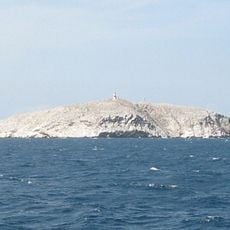
Phare de Monjes del Sur
72.9 km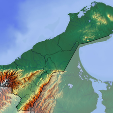
Jimol Formation
5.5 km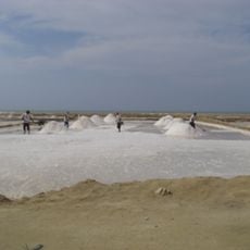
Salina de San Juan
139.3 km
Salina de Umakaha
98.6 km
Bishop Lasso Archdiocesan Museum
148.2 kmReviews
Visited this place? Tap the stars to rate it and share your experience / photos with the community! Try now! You can cancel it anytime.
Discover hidden gems everywhere you go!
From secret cafés to breathtaking viewpoints, skip the crowded tourist spots and find places that match your style. Our app makes it easy with voice search, smart filtering, route optimization, and insider tips from travelers worldwide. Download now for the complete mobile experience.

A unique approach to discovering new places❞
— Le Figaro
All the places worth exploring❞
— France Info
A tailor-made excursion in just a few clicks❞
— 20 Minutes