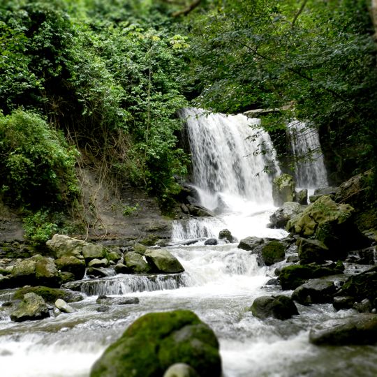
Juan Crisóstomo Falcón National Park, National park in Falcón state, Venezuela.
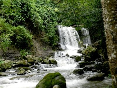
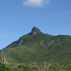
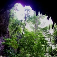
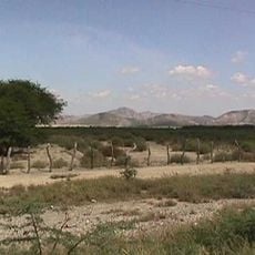
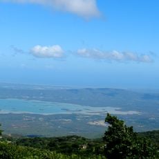
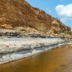
Juan Crisóstomo Falcón National Park, also called Sierra de San Luis, covers 20,000 hectares of the eastern slope of the Sierra de Falcón, about 30 minutes from Santa Ana de Coro. Its mid- and low mountains reach Cerro Galicia at 1,600 m, with cloud and dry forests, rivers, and limestone karst. The Hueque cave and its waterfalls are among the most photographed spots.
The park was created in 1987, covering 20,000 hectares across the municipalities of Bolívar, Petit, Colina and Miranda on the eastern slope of the Sierra de Falcón. Its name honours Juan Crisóstomo Falcón, the Falcón-born general and president of Venezuela. The Spanish Way, a road built in colonial times, crosses the Sierra de San Luis.
Local communities rely on water that flows from the park's highlands to supply nearby cities and towns. These mountain springs are central to how people in the region live and work.
The park has hiking trails leading to viewpoints, caves, and waterfalls, with Cerro Galicia being the highest peak. The mountainous terrain requires reasonable fitness and good footwear for safe travel.
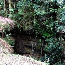
The Haitón del Guarataro, 305 metres deep, is Venezuela's deepest limestone cave. The park's karst also holds the Fosa de San Luis, described in Venezuelan sources as the country's largest underground lake, fed by water seeping through limestone over thousands of years.
The community of curious travelers
AroundUs brings together thousands of curated places, local tips, and hidden gems, enriched daily by 93,764 contributors worldwide.