Médanos de Coro National Park

Log in to your account

AroundUs is a community-driven map of interesting places, built by curious explorers like you. It grows with every review, story, and photo you share.
Connect to save your favorite spots, contribute locations, and create personalized routes.
By continuing, you accept our Terms and Conditions and our Privacy Policy

Médanos de Coro National Park

Add to collection
Map
Suggest a change
Share

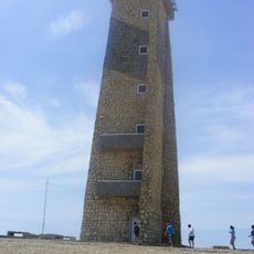
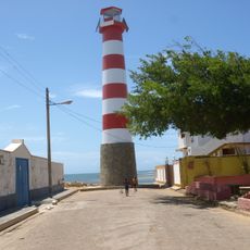
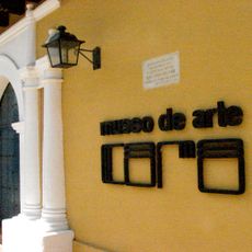
Médanos de Coro National Park, Desert national park near Coro, Venezuela

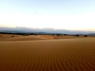
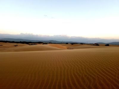
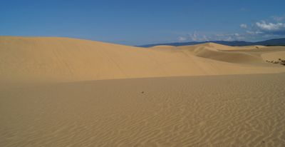
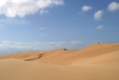
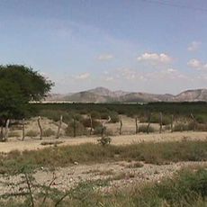
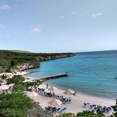
Médanos de Coro National Park is a desert and dune area near Coro in Venezuela, covering three different ecological zones including mangrove swamps and sandy expanses. The tallest dunes rise about 40 meters and form a landscape that recalls North Africa while remaining part of the Caribbean coast.

The Venezuelan government created this protected area in February 1974 to preserve the natural dune formations and coastal habitats. Since then, legal measures have prevented sand extraction and other activities that could disturb the ecological balance.

The name Médanos comes from Spanish and means dune, a term locals use for the wandering sand hills. Visitors often see small groups settling in the hollows between dunes to escape the wind and enjoy the silence of the desert.

Buses and taxis run regularly from the city of Coro to the park entrance, where visitors can book sand boarding, quad biking, or horseback rides. The wind is usually calmer in the morning, making it the best time to walk through the dunes.

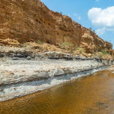
Four temporary lagoons formed among the sand dunes during the heavy floods of December 1999. These bodies of water created an unusual desert oasis that remained visible for several months after the rains.

Location: Municipio Falcón

Location: Municipio Miranda

Inception: February 6, 1974

Elevation above the sea: 1 m

Website: http://losmedanos.com/index2.htm

GPS coordinates: 11.60642,-69.73763

Latest update: December 4, 2025 23:40

Venezuela's hidden attractions

Venezuela contains locations away from standard routes. The Andes contain waterfalls and colonial towns. The coast features remote beaches and islands. Inland areas offer caves, rock art, and nature parks. The region includes rare natural phenomena such as regular lightning storms.

Photography locations in Venezuela

Venezuela presents diverse landscapes for photography. Angel Falls, the world's highest waterfall, drops 979 meters. Los Roques beaches display turquoise waters. Canaima National Park features waterfalls between table mountains. The capital Caracas shows colonial architecture next to modern buildings.

Reviews

Visited this place? Tap the stars to rate it and share your experience / photos with the community! Try now! You can cancel it anytime.

« Médanos de Coro National Park - Desert national park near Coro, Venezuela » is provided by Around Us (aroundus.com). Images and texts are derived from Wikimedia project under a Creative Commons license. You are allowed to copy, distribute, and modify copies of this page, under the conditions set by the license, as long as this note is clearly visible.

Discover hidden gems everywhere you go!

From secret cafés to breathtaking viewpoints, skip the crowded tourist spots and find places that match your style. Our app makes it easy with voice search, smart filtering, route optimization, and insider tips from travelers worldwide. Download now for the complete mobile experience.

Around Us App Screenshot

A unique approach to discovering new places

Le Figaro

All the places worth exploring

France Info

A tailor-made excursion in just a few clicks

20 Minutes