Parroquia Zazárida, third-level administrative division in the Municipio Buchivacoa, Falcón State, Venezuela
Location: Municipio Buchivacoa
GPS coordinates: 11.18403,-70.43879
Latest update: March 2, 2025 22:33
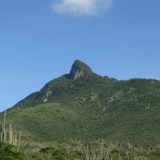
Cerro Santa Ana Natural Monument
88.7 km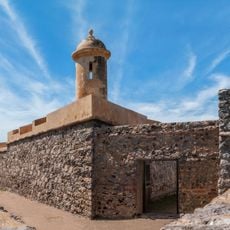
San Carlos de la Barra Fortress
129.6 km
Juan Crisóstomo Falcón National Park
81.9 km
Cerro Saroche National Park
55.5 km
Taima-Taima
106 km
Coro and its Port
85.9 km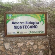
Montecano Biological Reservation
99 km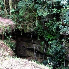
Haiton del Guarataro
81.9 km
Médanos de Zapara
125 km
Isla Los Pájaros
130.9 km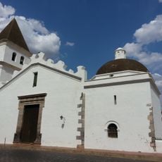
St. John the Baptist Cathedral
118.1 km
Basílica Menor Santuario Nacional de Nuestra Señora de Guadalupe del Carrizal
102.4 km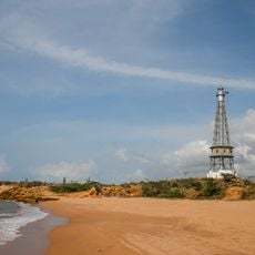
Punta Macolla Lighthouse
104.4 km
Parroquia San Luis
85 km
Filipinas
59.1 km
Parroquia Adícora
111.7 km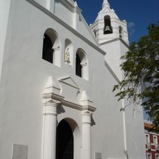
Basílica Catedral of St. Ann
86.7 km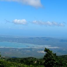
El Isiro reservoir
90.9 km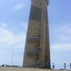
Cape San Román lighthouse
121.8 km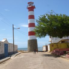
Adícora Lighthouse
109.4 km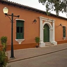
Coro Synagogue
86.9 km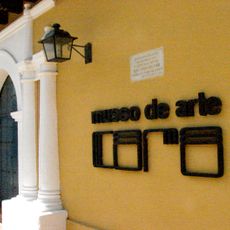
Museo de Arte de Coro
86.8 km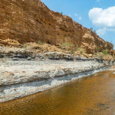
Urumaco Formation
20.7 km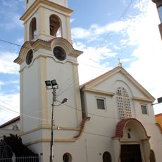
Cathedral of Our Lady of Coromoto
62.1 km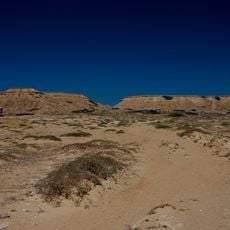
Castilletes Formation
129.2 km
Jewish cemetery of Coro
86.1 km
Saint Nicholas Church
86.8 km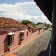
Coro e seu Porto
88.2 kmReviews
Visited this place? Tap the stars to rate it and share your experience / photos with the community! Try now! You can cancel it anytime.
Discover hidden gems everywhere you go!
From secret cafés to breathtaking viewpoints, skip the crowded tourist spots and find places that match your style. Our app makes it easy with voice search, smart filtering, route optimization, and insider tips from travelers worldwide. Download now for the complete mobile experience.

A unique approach to discovering new places❞
— Le Figaro
All the places worth exploring❞
— France Info
A tailor-made excursion in just a few clicks❞
— 20 Minutes