Chest opened
+${chestReward.xp} XP
Explorer
NOUVEAU ×${chestReward.collectible.quantity}
tapez pour fermer
Chest locked

Open chests in the app

Around Us is built for your phone — chests unlock when you walk, explore and capture nearby places.

Enable Location

We need your location to show you interesting places around you

Discover nearby places

Find interesting locations and hidden gems around you

Precise directions

Get accurate directions and distances to places

Your location is never shared with other users. It's only used when you tap the location button.

Calimaya Municipality

Log in to your account

Start exploring — it's free

Trusted by 72,944 travelers worldwide

Continue with Google
Continue with Apple
or

We will send you a code to connect

By continuing, you accept our Terms and Conditions and our Privacy Policy

Check your inbox

We've sent a pincode in your inbox. Please enter the code below.

Calimaya Municipality
Discussion Reviews 1 Photos
13.6k Popularity

Calimaya Municipality, Municipality in State of Mexico, Mexico

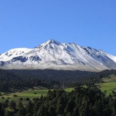
Calimaya Municipality sits south of Toluca in central Mexico, within the State of Mexico, encompassing rural and semi-urban areas. The landscape combines mountain terrain with farmland and small settlements spread across the region.

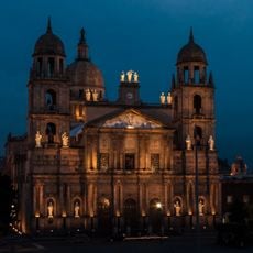
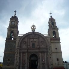
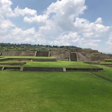
The region has been inhabited since ancient times and was influenced by pre-Hispanic civilizations that shaped the landscape. European settlement in the colonial period brought new organization to the area, establishing patterns still visible in the villages today.

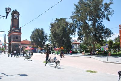
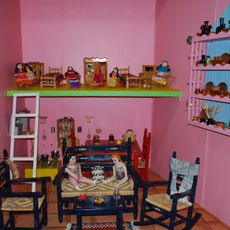
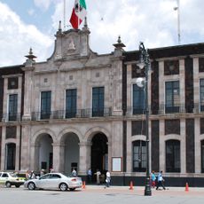
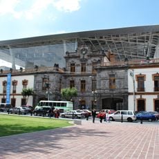
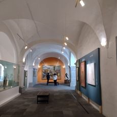
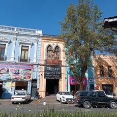
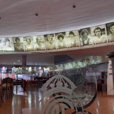
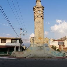
The municipality contains five distinct neighborhoods surrounding Plaza de Kiosko, where the municipal palace and Casa de Cultura display archaeological artifacts.

The municipality remains primarily agricultural, with farming and livestock raising dominating the landscape and daily life. Visitors should expect a rural setting with limited urban services and should plan accordingly for a countryside experience.

The area holds significance in the development of regional agriculture, with farming techniques passed down through generations of families. Walking through the villages reveals how these agricultural traditions continue to shape work routines and community rhythms.

The community of curious travelers

AroundUs brings together thousands of curated places, local tips, and hidden gems, enriched daily by 60,000 contributors worldwide.

Start exploring
Location
Capital city
Pito
Elevation above the sea
2,690 m
GPS coordinates
19.16083,-99.61722
Latest update
December 7, 2025 20:25
Reviews
Share your experience

No review yet

Discussions
Start a discussion...

No discussion yet

« Calimaya Municipality - Municipality in State of Mexico, Mexico » is provided by Around Us (aroundus.com). Images and texts are derived from Wikimedia project under a Creative Commons license. You are allowed to copy, distribute, and modify copies of this page, under the conditions set by the license, as long as this note is clearly visible.

Discover hidden gems everywhere you go!

From secret cafés to breathtaking viewpoints, skip the crowded tourist spots and find places that match your style. Our app makes it easy with voice search, smart filtering, route optimization, and insider tips from travelers worldwide. Download now for the complete mobile experience.

Around Us App Screenshot

A unique approach to discovering new places

Le Figaro

All the places worth exploring

France Info

A tailor-made excursion in just a few clicks

20 Minutes

Around Us
Travel Guide & Maps
Download

Send to your phone

QR Code
1

Open the camera app on your mobile.

2

Point at the QR code with your camera. A notification will appear.

3

Tap the notification to open the link.