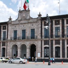
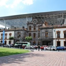
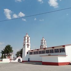
Temoaya, Municipal seat in State of Mexico, Mexico
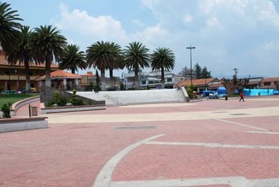
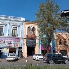
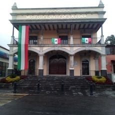
Temoaya is a municipality in the State of Mexico located in the central region at about 2,680 meters elevation. The town functions as an administrative center with a mix of urban districts, residential neighborhoods, and surrounding rural areas.
The area has roots in pre-Hispanic times when it was inhabited by Otomi communities. In the mid-16th century, it was incorporated into the colonial administration and gained the status of an independent jurisdiction.
The place carries strong ties to Otomi heritage, visible in local celebrations and the way people maintain traditional crafts and ceremonies throughout the year. Visitors walking through town can see these customs reflected in markets, festivals, and everyday life, where indigenous traditions remain woven into the community's identity.
The municipality is located in the mountains and is reachable by road from Toluca, with a drive of roughly one hour. The best time to visit is during the dry season, when weather conditions are more stable and roads are easier to navigate.
Local artisans create carpets that blend Persian patterns with Mexican motifs, continuing a weaving tradition that sets the place apart. These textiles are produced by craftspeople who combine traditional loom techniques with local creative designs.
The community of curious travelers
AroundUs brings together thousands of curated places, local tips, and hidden gems, enriched daily by 60,000 contributors worldwide.