Chest opened
+${chestReward.xp} XP
Explorer
NOUVEAU ×${chestReward.collectible.quantity}
tapez pour fermer
Chest locked

Open chests in the app

Around Us is built for your phone — chests unlock when you walk, explore and capture nearby places.

Enable Location

We need your location to show you interesting places around you

Discover nearby places

Find interesting locations and hidden gems around you

Precise directions

Get accurate directions and distances to places

Your location is never shared with other users. It's only used when you tap the location button.

Log in to your account

Start exploring — it's free

Trusted by 73,103 travelers worldwide

Continue with Google
Continue with Apple
or

We will send you a code to connect

By continuing, you accept our Terms and Conditions and our Privacy Policy

Check your inbox

We've sent a pincode in your inbox. Please enter the code below.

History of Mexico City
Discussion Reviews Photo
63.7k Popularity

History of Mexico City, Urban development narrative in Mexico City, Mexico.

The trajectory begins with Tenochtitlan, an island capital in Lake Texcoco, and extends through Spanish colonial rule to today's metropolis of over 20 million residents. Streets still follow the original Aztec grid, while modern neighborhoods spread across the drained lakebed.

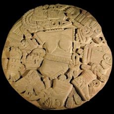
The Aztecs established Tenochtitlan on an island in 1325 and built it into one of the largest cities in the world before Spanish invaders destroyed it in 1521. Colonial rulers constructed their capital on the ruins and gradually filled in the lake, creating the present urban footprint.

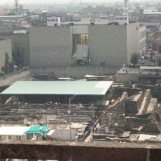
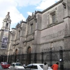
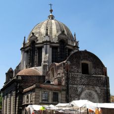
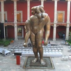
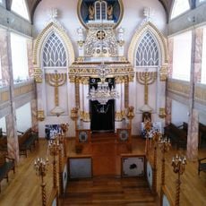
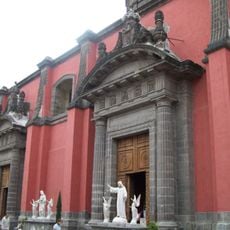
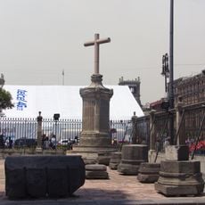
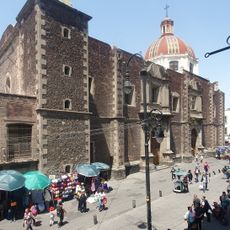
The Aztec legacy appears in temple foundations beneath the main square and in the floating gardens of Xochimilco, where farmers still grow vegetables on artificial islands. The cathedral was built with stones from the destroyed Templo Mayor, and its sunken floors remind visitors that the city stands on a former lake.

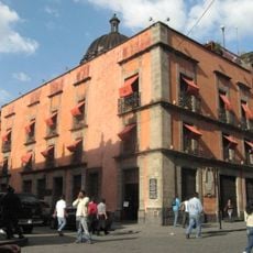
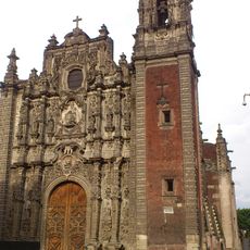
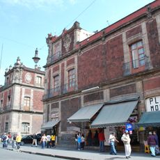
The main square and surrounding colonial streets lie in the city center, while archaeological sites like Teotihuacan require a day trip outside the city. Many buildings show signs of sinking due to unstable ground, which becomes noticeable when walking through the old quarter.

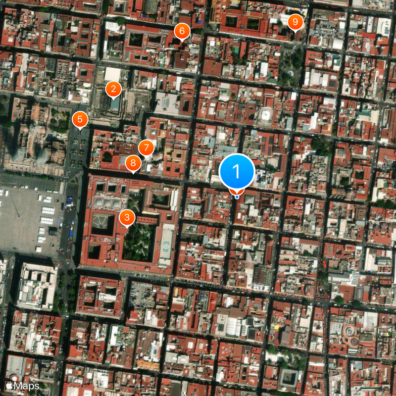
The Plaza de las Tres Culturas displays three building phases in one location: an Aztec pyramid, a Spanish colonial church, and a modern government building from the 1960s. The Templo Mayor remained hidden beneath colonial structures until 1978, when construction workers accidentally uncovered the ruins.

The community of curious travelers

AroundUs brings together thousands of curated places, local tips, and hidden gems, enriched daily by 60,000 contributors worldwide.

Start exploring
GPS coordinates
19.43309,-99.12884
Latest update
December 14, 2025 17:08
Reviews
Share your experience

No review yet

Discussions
Start a discussion...

No discussion yet

« History of Mexico City - Urban development narrative in Mexico City, Mexico » is provided by Around Us (aroundus.com). Images and texts are derived from Wikimedia project under a Creative Commons license. You are allowed to copy, distribute, and modify copies of this page, under the conditions set by the license, as long as this note is clearly visible.

Discover hidden gems everywhere you go!

From secret cafés to breathtaking viewpoints, skip the crowded tourist spots and find places that match your style. Our app makes it easy with voice search, smart filtering, route optimization, and insider tips from travelers worldwide. Download now for the complete mobile experience.

Around Us App Screenshot

A unique approach to discovering new places

Le Figaro

All the places worth exploring

France Info

A tailor-made excursion in just a few clicks

20 Minutes

Around Us
Travel Guide & Maps
Download

Send to your phone

QR Code
1

Open the camera app on your mobile.

2

Point at the QR code with your camera. A notification will appear.

3

Tap the notification to open the link.