Chest opened
+${chestReward.xp} XP
Explorer
NOUVEAU ×${chestReward.collectible.quantity}
tapez pour fermer
Chest locked

Open chests in the app

Around Us is built for your phone — chests unlock when you walk, explore and capture nearby places.

Enable Location

We need your location to show you interesting places around you

Discover nearby places

Find interesting locations and hidden gems around you

Precise directions

Get accurate directions and distances to places

Your location is never shared with other users. It's only used when you tap the location button.

Zumpango de Ocampo

Log in to your account

Start exploring — it's free

Trusted by 72,877 travelers worldwide

Continue with Google
Continue with Apple
or

We will send you a code to connect

By continuing, you accept our Terms and Conditions and our Privacy Policy

Check your inbox

We've sent a pincode in your inbox. Please enter the code below.

Zumpango de Ocampo
Discussion Reviews 2 Photos
20.8k Popularity

Zumpango de Ocampo, Administrative center in Zumpango Municipality, Mexico.

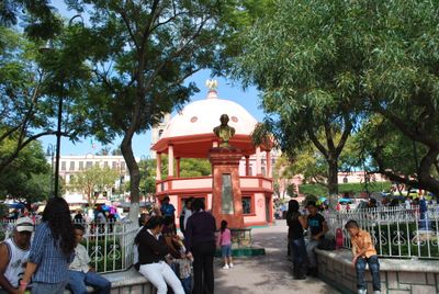
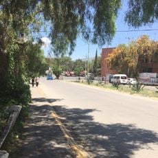
Zumpango de Ocampo is the administrative center of Zumpango Municipality, situated at 2,258 meters elevation with a landscape mixing agricultural land and residential areas. The locality contains schools from elementary through university level, including a campus of the Autonomous University of the State of Mexico.

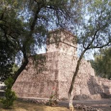
The locality was founded on July 31, 1820, under the Cadiz Constitution decree and gained city status in 1877. This change incorporated territories that had previously been under Spanish control.

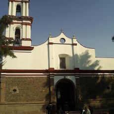
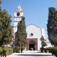
The name Zumpango comes from the Nahuatl word Tzompanco, meaning 'place of the skull rack', which reflects the area's deep roots in ancient Mexica settlements. This heritage remains part of how local people understand their community today.

Visitors should be aware of the elevation around 2,250 meters (7,380 feet), which can briefly affect those coming from lower altitudes. When exploring local institutions or the area, streets are generally accessible and level.

The Zumpango Lake in the northern part of the Mexico Valley basin supports various migratory bird species and provides a peaceful spot for nature watching. This water body plays a role in the local environment and community life.

The community of curious travelers

AroundUs brings together thousands of curated places, local tips, and hidden gems, enriched daily by 60,000 contributors worldwide.

Start exploring
Elevation above the sea
2,258 m
GPS coordinates
19.79694,-99.09917
Latest update
December 7, 2025 10:05
Reviews
Share your experience

No review yet

Discussions
Start a discussion...

No discussion yet

« Zumpango de Ocampo - Administrative center in Zumpango Municipality, Mexico » is provided by Around Us (aroundus.com). Images and texts are derived from Wikimedia project under a Creative Commons license. You are allowed to copy, distribute, and modify copies of this page, under the conditions set by the license, as long as this note is clearly visible.

Discover hidden gems everywhere you go!

From secret cafés to breathtaking viewpoints, skip the crowded tourist spots and find places that match your style. Our app makes it easy with voice search, smart filtering, route optimization, and insider tips from travelers worldwide. Download now for the complete mobile experience.

Around Us App Screenshot

A unique approach to discovering new places

Le Figaro

All the places worth exploring

France Info

A tailor-made excursion in just a few clicks

20 Minutes

Around Us
Travel Guide & Maps
Download

Send to your phone

QR Code
1

Open the camera app on your mobile.

2

Point at the QR code with your camera. A notification will appear.

3

Tap the notification to open the link.