Enable Location

We need your location to show you interesting places around you

Discover nearby places

Find interesting locations and hidden gems around you

Precise directions

Get accurate directions and distances to places

Your location is never shared with other users. It's only used when you tap the location button.

Former hacienda of Chichimequillas

Log in to your account

Start exploring — it's free

Trusted by 68,186 travelers worldwide

Continue with Google
Continue with Apple
or

We will send you a code to connect

By continuing, you accept our Terms and Conditions and our Privacy Policy

Check your inbox

We've sent a pincode in your inbox. Please enter the code below.

Former hacienda of Chichimequillas
Discussion Reviews 1 Photos
2.9k Popularity

Former hacienda of Chichimequillas, Colonial hacienda in El Marqués, Mexico

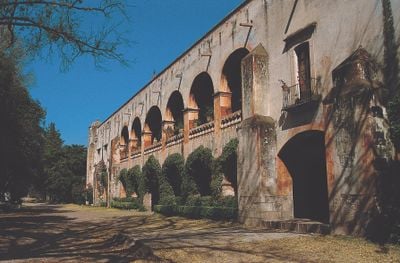
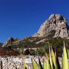
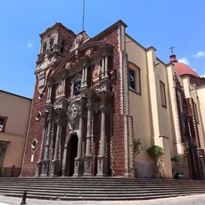
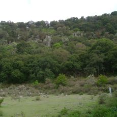
The former hacienda of Chichimequillas is a colonial estate in El Marqués composed of stone buildings and surrounding agricultural lands. Located at approximately 1,965 meters (6,440 feet) in elevation, the property maintains the original layout and structures of its working past.

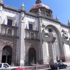
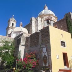
The Discalced Carmelites established the hacienda in 1691, making it a strategic point along the El Camino Real de Tierra Adentro trade route. The complex served an important role in connecting settlements and economic centers throughout the region.

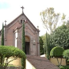
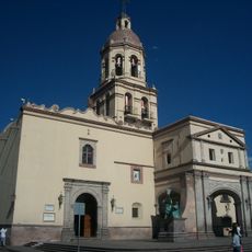
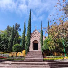
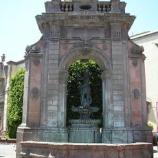
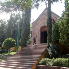
The chapel served as a gathering place where residents participated in religious ceremonies and community events during colonial times. These spaces reflect how religious practice and shared community life were interwoven in daily existence.

Access to the property is restricted and requires permission from the current owners before visiting. Plan ahead for your visit, as the grounds continue to operate as an active agricultural enterprise.

The property contains underground tunnels originally constructed for water management that protected the hacienda from seasonal flooding. These hidden structures demonstrate how residents engineered solutions to handle water flow in mountainous terrain.

The community of curious travelers

AroundUs brings together thousands of curated places, local tips, and hidden gems, enriched daily by 60,000 contributors worldwide.

Start exploring
Location
Elevation above the sea
1,965 m
Part of
El Camino Real de Tierra Adentro
GPS coordinates
20.76083,-100.34139
Latest update
December 8, 2025 21:05
Reviews
Share your experience

No review yet

Discussions
Start a discussion...

No discussion yet

« Former hacienda of Chichimequillas - Colonial hacienda in El Marqués, Mexico » is provided by Around Us (aroundus.com). Images and texts are derived from Wikimedia project under a Creative Commons license. You are allowed to copy, distribute, and modify copies of this page, under the conditions set by the license, as long as this note is clearly visible.

Discover hidden gems everywhere you go!

From secret cafés to breathtaking viewpoints, skip the crowded tourist spots and find places that match your style. Our app makes it easy with voice search, smart filtering, route optimization, and insider tips from travelers worldwide. Download now for the complete mobile experience.

Around Us App Screenshot

A unique approach to discovering new places

Le Figaro

All the places worth exploring

France Info

A tailor-made excursion in just a few clicks

20 Minutes

Around Us
Travel Guide & Maps
Download

Send to your phone

QR Code
1

Open the camera app on your mobile.

2

Point at the QR code with your camera. A notification will appear.

3

Tap the notification to open the link.