Chest opened
+${chestReward.xp} XP
Explorer
NOUVEAU ×${chestReward.collectible.quantity}
tapez pour fermer

See the monuments around you in AR Open chests in the app

Around Us is built for your phone — point your camera at the streets and discover the monuments and places around you in augmented reality. Around Us is built for your phone — chests unlock when you walk, explore and capture nearby places.

Enable Location

We need your location to show you interesting places around you

Discover nearby places

Find interesting locations and hidden gems around you

Precise directions

Get accurate directions and distances to places

Your location is never shared with other users. It's only used when you tap the location button.

El Camino Real de Tierra Adentro

Log in to your account

Start exploring — it's free

Trusted by 85,904 travelers worldwide

Continue with Google
Continue with Apple
or

We will send you a code to connect

By continuing, you accept our Terms and Conditions and our Privacy Policy

Check your inbox

We've sent a pincode in your inbox. Please enter the code below.

Discussion Reviews 2 Photos
50.2k Popularity

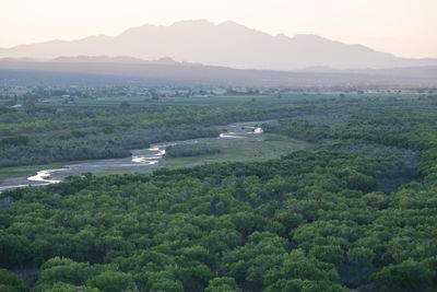
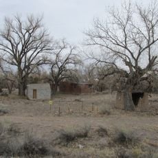
El Camino Real de Tierra Adentro, Historic passageway in Santa Fe County, United States.

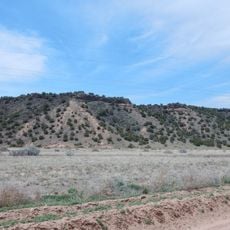
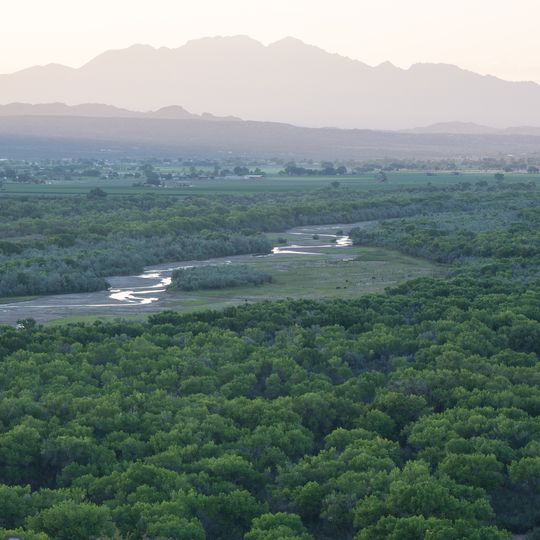
El Camino Real de Tierra Adentro is a historic trade route extending from Mexico City through San Juan Pueblo across multiple states, connecting diverse landscapes and settlements. The path winds through highlands, valleys, and desert terrain where remnants of old stations, settlements, and structures remain visible along its course.

Spanish colonizers established this trade route in the 16th century to connect Mexico City with northern settlements for commerce and missionary work. The route evolved over generations into a vital transportation corridor that shaped economic and cultural development across northern territories.

The route reflects blended Spanish, Mexican, and Native American influences visible in the architecture, crafts, and daily practices of communities along the way. Local residents continue traditional skills and ways of life that have persisted through centuries.

The route is accessible from multiple entry points and information centers where visitors can obtain maps and guidance. It helps to explore the route in sections since the full distance is extensive and conditions vary from location to location.

The area contains archaeological sites and monuments that reveal activities that took place along the route for centuries. These locations tell stories of traders, settlers, and the many people who crossed and shaped the landscape.

The community of curious travelers

AroundUs brings together thousands of curated places, local tips, and hidden gems, enriched daily by 60,000 contributors worldwide.

Start exploring
Location
Inception
1500
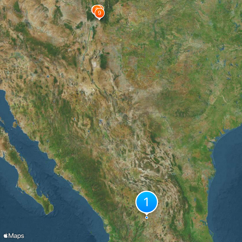
GPS coordinates
35.77351,-106.11612
Latest update
September 11, 2026 18:18
Around this place
Santa Fe National Forest
United States of America

Santa Fe National Forest

7.2 mi
Tsankawi
United States of America

Tsankawi

8.3 mi
Otowi Historic District
United States of America

Otowi Historic District

7.1 mi
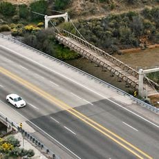
Otowi Suspension Bridge
United States of America

Otowi Suspension Bridge

7.1 mi
Ancha Formation
United States of America

Ancha Formation

4.3 mi
Los Alamos VLBA station
United States of America

Los Alamos VLBA station

7.3 mi
Piñon Park Splash Pad
United States of America

Piñon Park Splash Pad

6.4 mi
United States of America

Pueblo of Tesuque Historical Marker

8.1 mi
United States of America

Black-on-Red Jar Replica Approximately 1910

6.5 mi
United States of America

Bandelier Black-on-Gray Jar Replica AD 1400-155

6.4 mi
United States of America

Flying Folds (Origami Crane)

6.5 mi
United States of America

Kites of Many Colors

6.5 mi
United States of America

Black-on-Black Maria Martinez Plate Replica 1920s

6.5 mi
United States of America

Ancestral Pueblo Cooking Pot Replica AD 1200-1550

6.6 mi
United States of America

Strange Trio

5.6 mi
United States of America

Contemporary Black-on-Sienna Pot Replica, 1960s

6.4 mi
United States of America

San Ildefonso Polychrome Jar Replica, Late 1800s

6.4 mi
United States of America

Man

7.7 mi
United States of America

Sculpture

8.1 mi
United States of America

White Rock Canyon Viewpoint

5.3 mi
United States of America

Scenic Overlook

8.2 mi
United States of America

Scenic viewpoint

7.4 mi
United States of America

Upper Frijoles Falls

8.1 mi
United States of America

Lower Frijoles Falls

8 mi
United States of America

Waterfall

5.2 mi
United States of America

Waterfall

5.2 mi
United States of America

Waterfall

5.3 mi
United States of America

Waterfall

8 mi
Show the full map
Reviews
Share your experience

No review yet

Discussions
Start a discussion...

No discussion yet

« El Camino Real de Tierra Adentro - Historic passageway in Santa Fe County, United States » is provided by Around Us (aroundus.com). Images and texts are derived from Wikimedia project under a Creative Commons license. You are allowed to copy, distribute, and modify copies of this page, under the conditions set by the license, as long as this note is clearly visible.

Discover hidden gems everywhere you go!

From secret cafés to breathtaking viewpoints, skip the crowded tourist spots and find places that match your style. Our app makes it easy with voice search, smart filtering, route optimization, and insider tips from travelers worldwide. Download now for the complete mobile experience.

Around Us App Screenshot

A unique approach to discovering new places

Le Figaro

All the places worth exploring

France Info

A tailor-made excursion in just a few clicks

20 Minutes

Around Us
Travel Guide & Maps
Download

Send to your phone

QR Code
1

Open the camera app on your mobile.

2

Point at the QR code with your camera. A notification will appear.

3

Tap the notification to open the link.