Enable Location

We need your location to show you interesting places around you

Discover nearby places

Find interesting locations and hidden gems around you

Precise directions

Get accurate directions and distances to places

Your location is never shared with other users. It's only used when you tap the location button.

Santa Fe County

Log in to your account

Start exploring — it's free

Trusted by 62,530 travelers worldwide

Continue with Google
Continue with Apple
or

We will send you a code to connect

By continuing, you accept our Terms and Conditions and our Privacy Policy

Check your inbox

We've sent a pincode in your inbox. Please enter the code below.

Santa Fe County, Administrative division in central New Mexico, United States

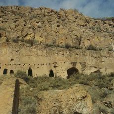
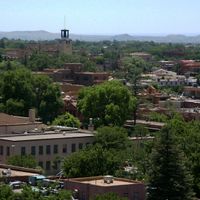
Santa Fe County is an administrative division in central New Mexico covering roughly 1,900 square miles with diverse terrain ranging from high desert to mountains. The landscape includes peaks rising above 12,000 feet (3,660 meters) alongside lower elevation plains and valleys.

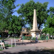
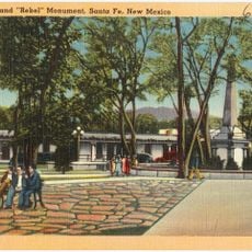
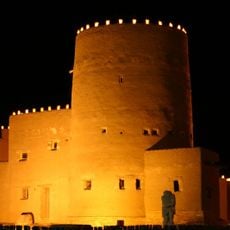
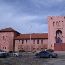
The county was established in 1852 from former Spanish colonial territories, with its capital serving as one of the oldest administrative centers in the region. The area developed into a major commercial hub connecting trade routes between Mexico and northern settlements.

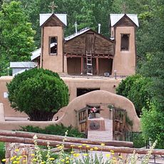
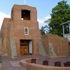
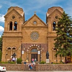
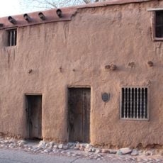
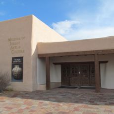
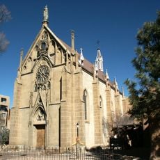
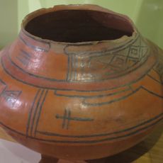
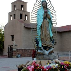
The county's population descends from Spanish settlers, Pueblo peoples, and other communities whose traditions remain visible in local festivals, art galleries, and craft markets throughout the region. This cultural mix has shaped the area's distinctive approach to food, architecture, and artistic expression.

Visitors can navigate the county easily thanks to established road connections linking communities and attractions throughout the region. Allow extra time for travel between distant areas, as the county spans a large geographic area.

The county contains segments of the historic El Camino Real de Tierra Adentro, an ancient trade path from colonial times that once connected major settlements across the region. Visitors can walk portions of this route today and imagine the merchants and travelers who crossed here centuries ago.

The community of curious travelers

AroundUs brings together thousands of curated places, local tips, and hidden gems, enriched daily by 60,000 contributors worldwide.

Start exploring
Location
Inception
1852
Capital city
Santa Fe
Shares border with
Rio Arriba County, Mora County, San Miguel County, Torrance County, Bernalillo County, Sandoval County, Los Alamos County
GPS coordinates
35.51000,-105.98000
Latest update
December 19, 2025 23:54
Around this place
Loretto Chapel
United States of America

Loretto Chapel

19.9 km
Meow Wolf
United States of America

Meow Wolf

16.2 km
El Santuario de Chimayo
United States of America

El Santuario de Chimayo

53.5 km
San Miguel Mission
United States of America

San Miguel Mission

19.7 km
Palace of the Governors
United States of America

Palace of the Governors

20.2 km
Cathedral Basilica of Saint Francis of Assisi
United States of America

Cathedral Basilica of Saint Francis of Assisi

20 km
New Mexico State Capitol
United States of America

New Mexico State Capitol

19.5 km
Georgia O'Keeffe Museum
United States of America

Georgia O'Keeffe Museum

20.2 km
Santa Fe Plaza
United States of America

Santa Fe Plaza

20.1 km
New Mexico Governor's Mansion
United States of America

New Mexico Governor's Mansion

21.9 km
Puye Cliff Dwellings
United States of America

Puye Cliff Dwellings

56.5 km
De Vargas Street House
United States of America

De Vargas Street House

19.7 km
Soldiers' Monument
United States of America

Soldiers' Monument

20.1 km
New Mexico Museum of Art
United States of America

New Mexico Museum of Art

20.2 km
Tsankawi
United States of America

Tsankawi

44.6 km
Museum of International Folk Art
United States of America

Museum of International Folk Art

17.8 km
Museum of Indian Arts and Culture
United States of America

Museum of Indian Arts and Culture

18 km
El Rancho de las Golondrinas
United States of America

El Rancho de las Golondrinas

13.9 km
Glorieta Pass Battlefield
United States of America

Glorieta Pass Battlefield

18.5 km
Fort Marcy
United States of America

Fort Marcy

20.4 km
Paolo Soleri Amphitheater
United States of America

Paolo Soleri Amphitheater

18.1 km
Wheelwright Museum of the American Indian
United States of America

Wheelwright Museum of the American Indian

17.7 km
Santa Fe Historic District
United States of America

Santa Fe Historic District

20.1 km
Poeh Museum
United States of America

Poeh Museum

41.5 km
San Lazaro archaeological site
United States of America

San Lazaro archaeological site

16.9 km
Santuario de Guadalupe
United States of America

Santuario de Guadalupe

20 km
Hyde Memorial State Park
United States of America

Hyde Memorial State Park

28.4 km
Scottish Rite Temple
United States of America

Scottish Rite Temple

20.6 km
Show the full map
Administrative divisions
« Santa Fe County - Administrative division in central New Mexico, United States » is provided by Around Us (aroundus.com). Images and texts are derived from Wikimedia project under a Creative Commons license. You are allowed to copy, distribute, and modify copies of this page, under the conditions set by the license, as long as this note is clearly visible.

Discover hidden gems everywhere you go!

From secret cafés to breathtaking viewpoints, skip the crowded tourist spots and find places that match your style. Our app makes it easy with voice search, smart filtering, route optimization, and insider tips from travelers worldwide. Download now for the complete mobile experience.

Around Us App Screenshot

A unique approach to discovering new places

Le Figaro

All the places worth exploring

France Info

A tailor-made excursion in just a few clicks

20 Minutes

Around Us
Travel Guide & Maps
Download

Send to your phone

QR Code
1

Open the camera app on your mobile.

2

Point at the QR code with your camera. A notification will appear.

3

Tap the notification to open the link.