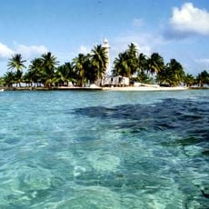
Belize City, Former capital in Belize District, Belize
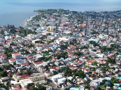
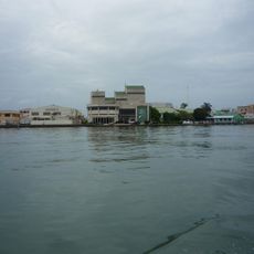
Belize City lies where the Belize River meets the Caribbean Sea, the largest settlement in Belize District within Belize. Northern and southern waterfront zones are linked by bridges and canals, with residential and commercial areas spread along the coastline.
British loggers founded the settlement in 1638 to trade tropical timber, with Peter Wallace leading the first group. During the 19th century the port became the main hub for mahogany and other raw materials, before the government relocated to Belmopan in 1970.
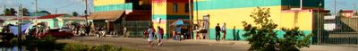
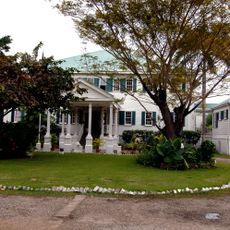
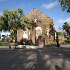
Life in the city is shaped by Creole, a mixed language heard daily in markets and shops. Along the seafront, raised wooden houses with verandas show how residents adapted to flooding and tropical weather, a pattern still visible throughout older neighborhoods.
Philip Goldson International Airport is located about 10 miles (16 kilometers) northwest, with direct flights to North and Central America. Water taxis connect waterfront areas and offer a faster alternative to road travel within the city.
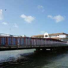
A network of swing bridges made from wood and metal rotates sideways when boats need to pass through the canal. On market days fishermen tie their boats directly in front of shops and stalls, allowing the catch to be sold without intermediate storage.
The community of curious travelers
AroundUs brings together thousands of curated places, local tips, and hidden gems, enriched daily by 60,000 contributors worldwide.