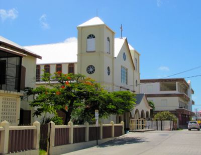
Belize, Central American nation between Mexico and Guatemala
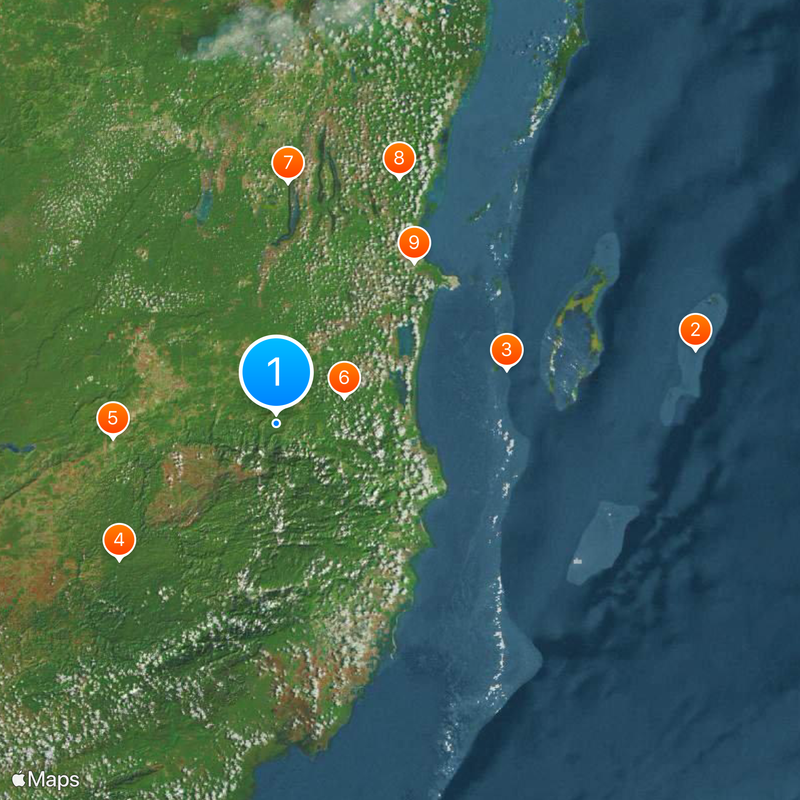
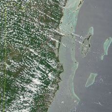
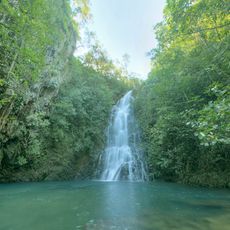
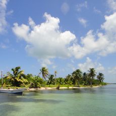
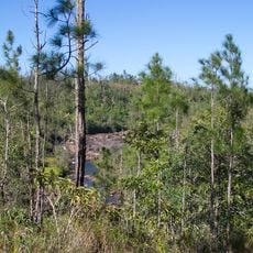
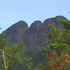
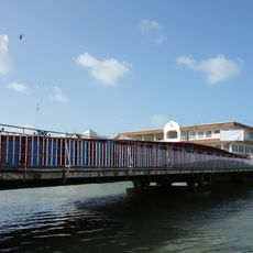
The territory extends over 22,900 square kilometers and includes a barrier reef system along the Caribbean coast as well as inland tropical forests with numerous Maya sites. The landscape ranges from flat coastal plains to the Maya Mountains in the south, where heights exceed 1,100 meters, while offshore cayes and atolls mark the marine region.
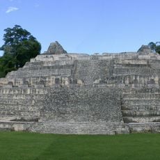
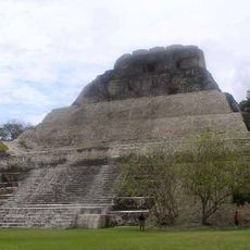
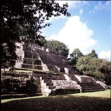
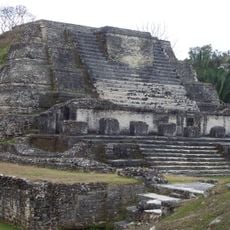
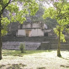
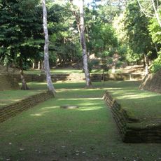
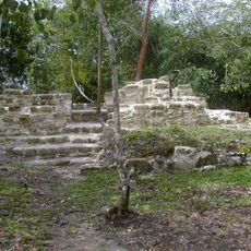
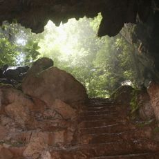
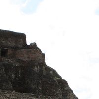
Maya civilization thrived between 1500 BC and 1200 AD in this region, leaving major architectural remains at places such as Caracol and Lamanai. Spanish explorers reached the area in the 16th century, but British logwood cutters founded settlements from the 1630s onward, before the territory became the formal British colony of British Honduras in 1862 and gained independence in 1981.
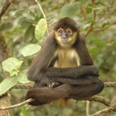
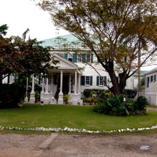
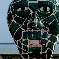
English serves as the official language in this predominantly Spanish-speaking region of Central America, reflecting British colonial influence that created a Caribbean-Central American cultural blend. The population consists of diverse ethnic groups including Mestizo, Creole, Maya, and Garifuna communities whose traditions shape social life.
Philip S. W. Goldson International Airport in Belize City offers connections to water transport services reaching coastal cayes and barrier reef destinations, while bus networks link major inland towns. The dry season from November through April is generally considered the most favorable travel period, and US dollars are widely accepted alongside the local currency.
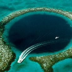
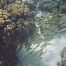
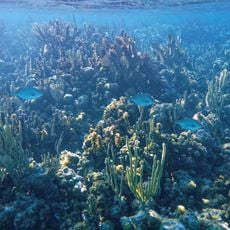
Swallow Caye Wildlife Sanctuary provides protected waters for observing manatees in their natural Caribbean Sea habitat throughout the year. The Belize Barrier Reef forms the second largest coral reef system in the world after Australia's Great Barrier Reef and hosts over 500 different fish species along with more than 100 coral types along 300 kilometers of coast.
The community of curious travelers
AroundUs brings together thousands of curated places, local tips, and hidden gems, enriched daily by 60,000 contributors worldwide.